Posted:
Apr 6, 2019 @ 6:37 am

The avalanche danger is MODERATE. Wet avalanches will be possible across West Central Montana backcountry as a result of warm temperatures and significant rain. Carefully evaluate snow and terrain before traveling on steep slopes or onto likely trigger points.

Good morning, this is Logan King with the West Central Montana Avalanche Center’s avalanche advisory for Saturday, April 6th, 2019. This danger rating does not apply to operating ski areas, expires at midnight tonight and is the sole responsibility of the U.S. Forest Service.

Weather and Snowpack

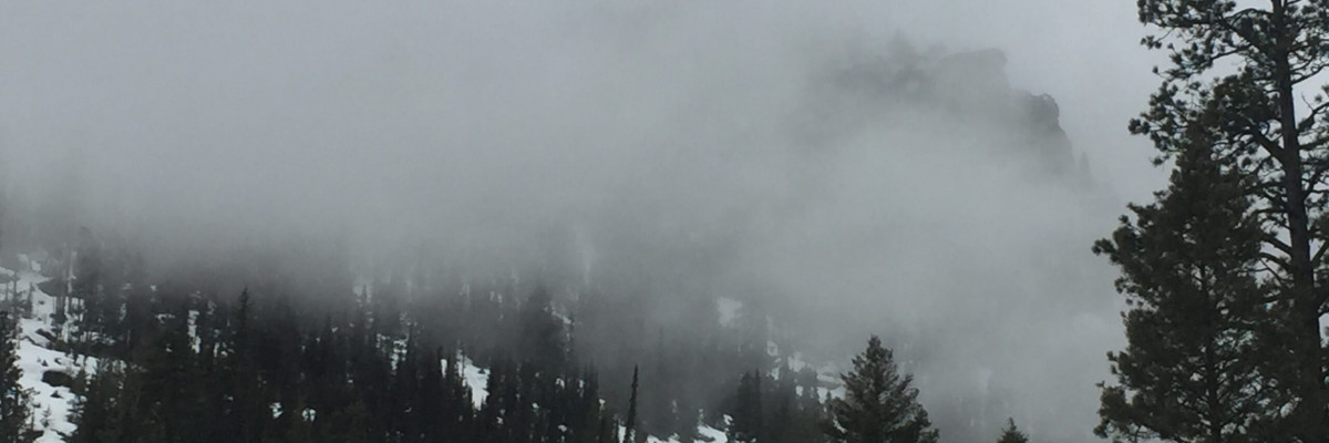
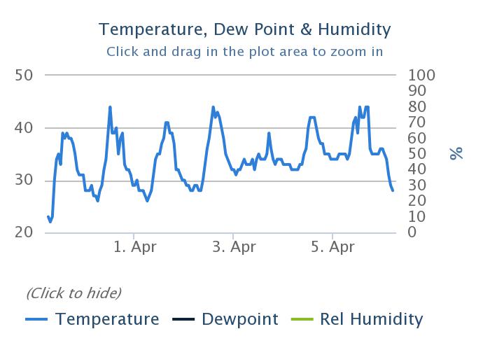
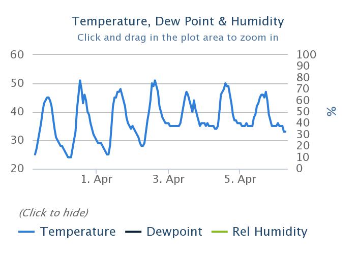
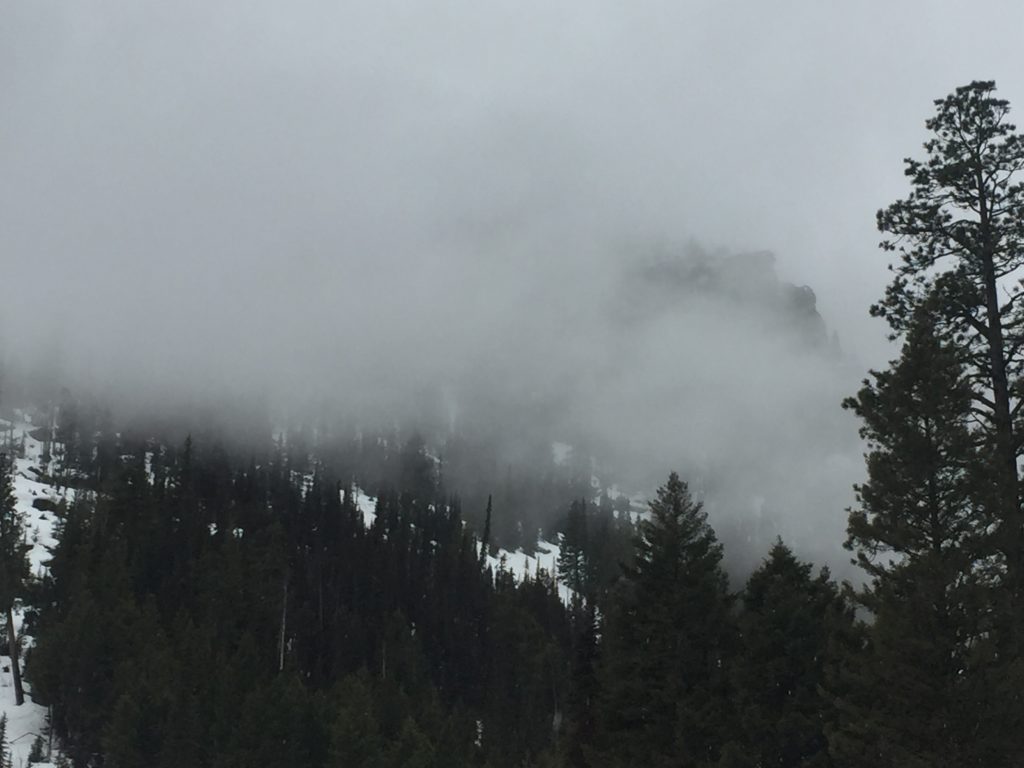
Overnight temperatures cooled a bit and rain and snow showers continued. Above about 5,500 temperatures briefly dropped below freezing early this morning creating a light freeze. Mountain temperatures this morning are hovering right around freezing and range from 28 to 33 degrees Fahrenheit. Showers yesterday brought rain to a good portion of the advisory area and to upper elevations. Overnight the rain line dropped bringing heavy snow that fell onto rain-saturated snow. Snow water equivalents for the past 24 hours range from 0.1 to 0.6 inches of water. Winds are primarily out of the west to southwest and are sustained in the upper teens with gusts into the low thirties.

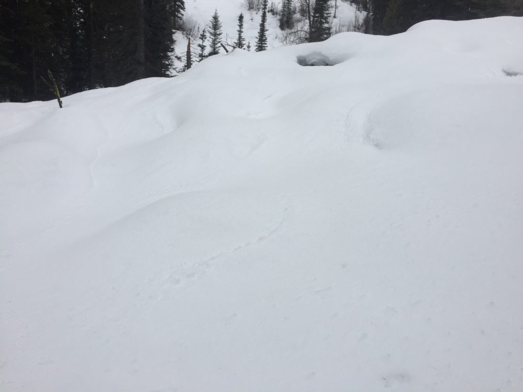
A few days with above freezing temperatures and rain to upper elevations combined with very light freeze last night and continued rain transitioning to wet heavy snow will increase wet avalanche activity today. Wet avalanches can be challenging to predict and won’t give you many red flags. Look for increased loose activity or roller balls to identify areas of increased potential. Avoid likely starting zones like rocky terrain, rollovers, and saturated or runneled snow.

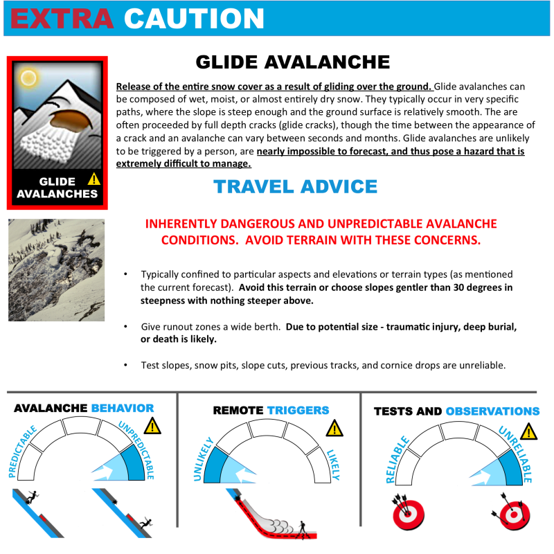
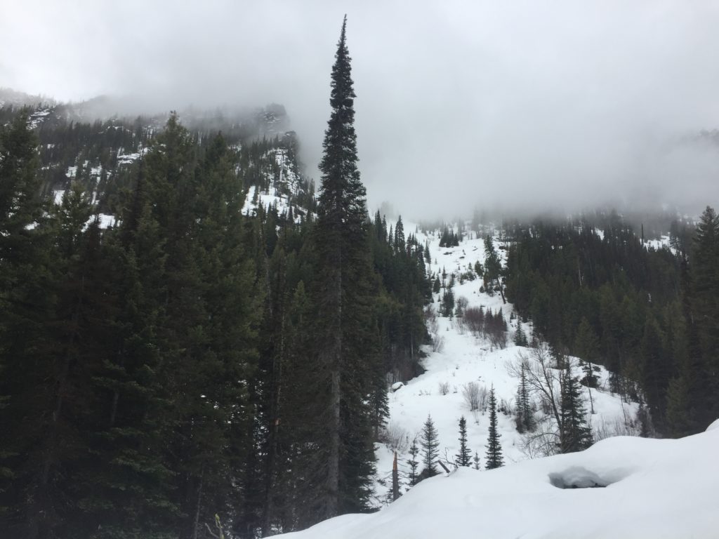
The wet and heavy new snow will need a day or two to bond to the old snow surface. Loose wet avalanches will be widespread and easily triggered in steep terrain today. Cornices will continue to lose strength as temperatures climb above freezing again today. With yesterdays high elevation rain (approx 8,000 feet) expect to see an increase in glide cracks. The snowpack is wet and lubricated and primed for gliding at any elevation now. Glide avalanches are extremely difficult to predict and can release without warning, steer clear of slopes that have glide cracks and avoid traveling below them or on adjacent terrain as it likely has a similar structure and bed surface necessary for glide avalanches.

The bottom line is that rain yesterday, a very light overnight freeze, wet new snow and temperatures well above freezing will all increase the avalanche danger today. Avalanche activity will increase through the afternoon and requires anyone in the mountains to stay aware of rapidly changing conditions as the day progresses.

Avalanche and Weather Outlook

Diminishing showers this morning will make today a bit drier than yesterday. Light and scattered shower potential will again develop later today but snow and rain totals will be minimal (forecast). The avalanche danger today will increase with emphasis on solar aspects and locations that experience rain showers today. Sunday will bring a significant increase for snow as a moist system moves into the region. Snow levels will drop and several inches of new snow is possible.

We will conclude our regular forecasts next week as this storm cycle ends but will continue to post updates as necessary after that. Observations on our public observations page will continue to get posted and shared with the community so keep sending in what you find.

Ski and ride safe.

READ FULL ADVISORY  

Problem 1 - Wet Slabs

  • TYPE

    wet-slabs

    Wet Slabs

    Release of a cohesive layer of snow (a slab) that is generally moist or wet when the flow of liquid water weakens the bond between the slab and the surface below (snow or ground). They often occur during prolonged warming events and/or rain-on-snow events. Wet slabs can be very destructive.

  • SIZE

    3-4

    1-2 (Small-Large)

    The potential size of avalanche resulting from this problem.

  • LIKELIHOOD

    Likelihood-3

    Possible

    The likelihood of an avalanche resulting from this problem.

Wet slab avalanches are possible with rain and continued warm temperatures.

Problem 2 - Loose Wet

  • TYPE

    loose-wet

    Loose Wet

    Release of wet unconsolidated snow or slush. These avalanches typically occur within layers of wet snow near the surface of the snowpack, but they may quickly gouge into lower snowpack layers. Like Loose-Dry Avalanches,they start at a point and entrain snow as they move downhill, forming a fan-shaped avalanche. They generally move slowly, but can contain enough mass to cause significant damage to trees, cars or buildings. Other names for loose-wet avalanches include point-release avalanches or sluffs. Loose-wet avalanches can trigger slab avalanches that break into deeper snow layers.

  • SIZE

    1-2

    < 1 (Small)

    The potential size of avalanche resulting from this problem.

  • LIKELIHOOD

    Likelihood-5

    Likely

    The likelihood of an avalanche resulting from this problem.

Saturated surface snow will lead to widespread small loose wet slides in steep terrain.

Problem 3 - Glide avalanches

  • TYPE

    glide-avalanche

    Glide Avalanches

    Release of the entire snow cover as a result of gliding over the ground. Glide avalanches can be composed of wet, moist, or almost entirely dry snow. They typically occur in very specific paths, where the slope is steep enough and the ground surface is relatively smooth. The are often proceeded by full depth cracks (glide cracks), though the time between the appearance of a crack and an avalanche can vary between seconds and months. Glide avalanches are unlikely to be triggered by a person, are nearly impossible to forecast, and thus pose a hazard that is extremely difficult to manage.

    Predicting the release of Glide Avalanches is very challenging. Because Glide Avalanches only occur on very specific slopes, safe travel relies on identifying and avoiding those slopes. Glide cracks are a significant indicator, as are recent Glide Avalanches.

  • SIZE

    3-4

    1-2 (Small-Large)

    The potential size of avalanche resulting from this problem.

  • LIKELIHOOD

    Likelihood-3

    Possible

    The likelihood of an avalanche resulting from this problem.

Saturated snow is crating widespread glide activity that will increase today following yesterdays rain.

FORECAST & OUTLOOK

Clearing this morning before scattered light showers today. Sunday will bring a transition to snow with potential of several inches at some locations.

This information is the sole responsibility of the Forest Service and does not apply to operating ski areas. The avalanche danger rating expires at midnight tonight but the information can help you make a more informed decision regarding travel in avalanche terrain for the next few days.

Our advisory area includes National Forest System lands in the Bitterroot Mountains from Lost Trail Pass north to Granite Pass, the Rattlesnake Mountains north of Missoula and the Southern Swan and Mission Mountains near Seeley Lake, MT. Avalanche information for the Lookout Pass/St. Regis Basin area is available from the Idaho Panhandle Avalanche Center.