
The avalanche danger for the West Central Montana backcountry is MODERATE. It is possible to trigger large dangerous avalanches in steep terrain. It is also possible to trigger wind slab avalanches in exposed upper elevation terrain.
Good morning, this is Todd Glew with the West Central Montana Avalanche Center’s avalanche advisory for December 24, 2019. This danger rating does not apply to operating ski areas, expires at midnight tonight, and is the sole responsibility of the U.S. Forest Service.
Weather and Snowpack
Mountain temperatures are currently 15-20 F. Winds are light out of the west. There are currently snow showers in favored locations. Overnight there was a trace to 3 inches of snow reported in some locations.
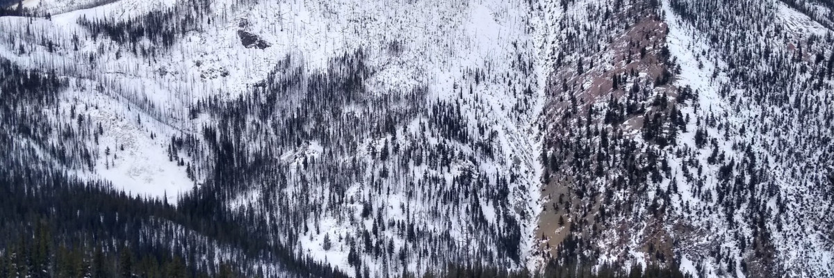
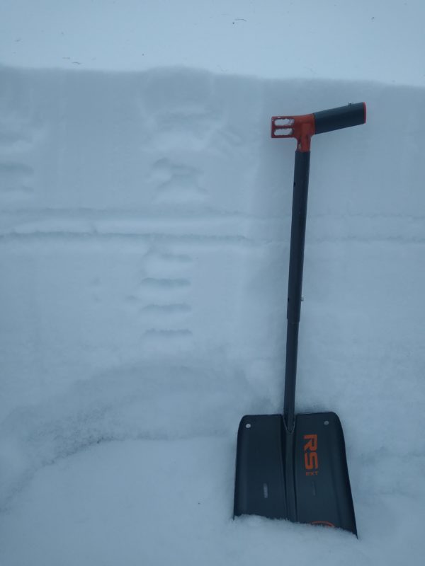
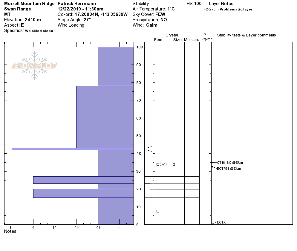
The nitty-gritty is that we have a thin snowpack throughout our forecast area. The kicker is that we have the potential for avalanches in areas with enough snow to ski or sled. We have a complex snowpack structure, with depths ranging from 1.5 to 3 feet above about 6500 feet in elevation. If you are wondering how deep the snow is? Step off your sled or skis, and there is a good chance you may sink to the ground.
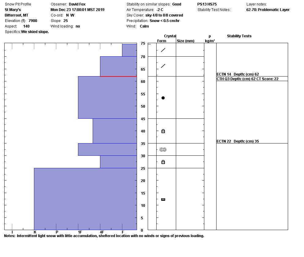
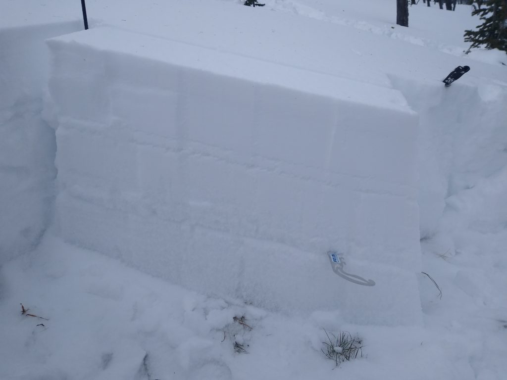
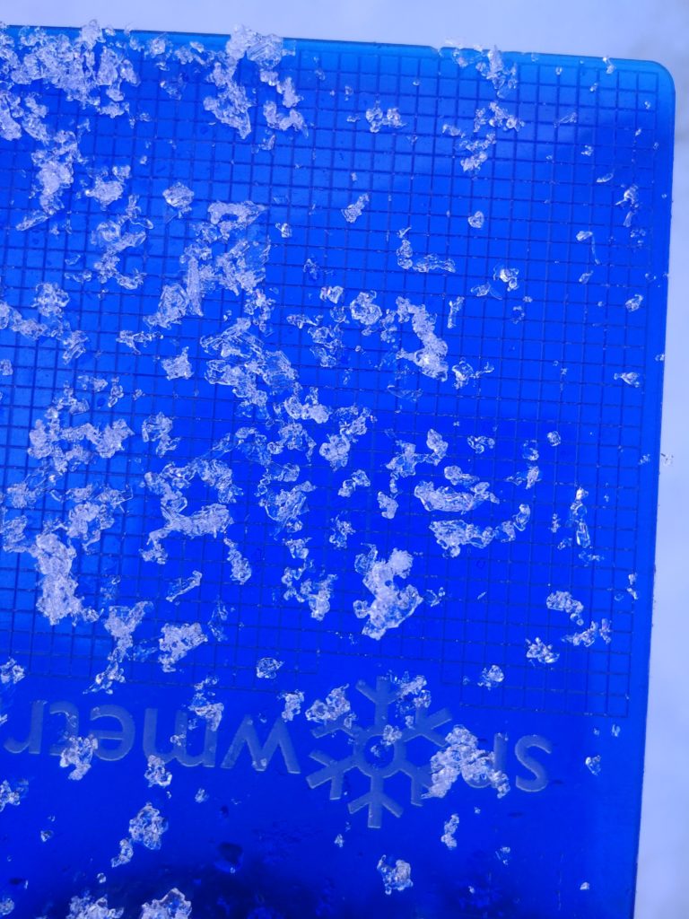
The primary avalanche concern is persistent slab avalanches. These avalanches are especially dangerous given the consequences of getting caught and carried in an avalanche failing near the ground. What we have is stronger snow overlying weaker snow, showing the propensity to avalanche in snowpit results. On all aspects above 7000 feet, with a slope angle 35 degrees or greater, persistent slab avalanches are a concern. Snowpit results are showing signs of propagation, meaning avalanches are possible. Red flags such as cracking, collapsing, and natural avalanches have also been recently observed.
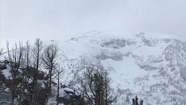
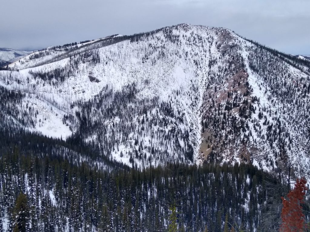
The secondary avalanche concern is wind slab avalanches. This problem is most pronounced near upper elevation ridge tops. Keep an eye out for bulbous pillowy features located on the leeward side of ridges. Wind slabs may be stubborn, but if you trigger one, it has the potential to step down and create a larger persistent slab avalanche.
Bottom line: We have the possibility for human triggered avalanches on steep slopes above about 7000 feet in elevation. We have a complex snowpack that does not inspire much confidence in regards to stability. Keep an eye out for red flags such as cracking and collapsing. Also, dig a snowpit, but don’t base your results just off one pit as we have a vast amount of spatial variability in our snow pack. Keep an eye out for steep thinner areas, as that would a more likely place to trigger an avalanche.
Avalanche and Weather Outlook
Mountain temperatures today are forecasted to be 20-34 F, with light winds out of the west. Snow showers are expected today with a trace to 2 inches in favored locations. Pay attention to any new changes today in regards to wind and snow. Avalanche danger will remain the same.
If you make it out into the mountains, any information is great appreciated. Send us your observations here.
Ski and ride safe.


