
The avalanche danger in the west central Montana backcountry is MODERATE in wind loaded terrain and LOW in all other terrain.
Good morning, this is Jeff Carty with the West Central Montana Avalanche Center’s avalanche advisory for December 1, 2020. This advisory does not apply to operating ski areas, expires at midnight tonight, and is the sole responsibility of the U.S. Forest Service.
Yesterday’s pulse of snow brought up to 8″ in the mountains with the Bitterroot receiving 2″-6″, Lolo Pass 7″, The Rattlesnake 1″, and Southern Missions 8″.
Temps ranged from 19º to 33º. Winds were westerly 15mph to 40mph, transporting significant snow onto leeward slopes.
Windslab is our main concern on higher elevation wind-loaded slopes. Elsewhere the snowpack is mostly stable. However, variations do exist within the region, approach all slopes with suspicion.
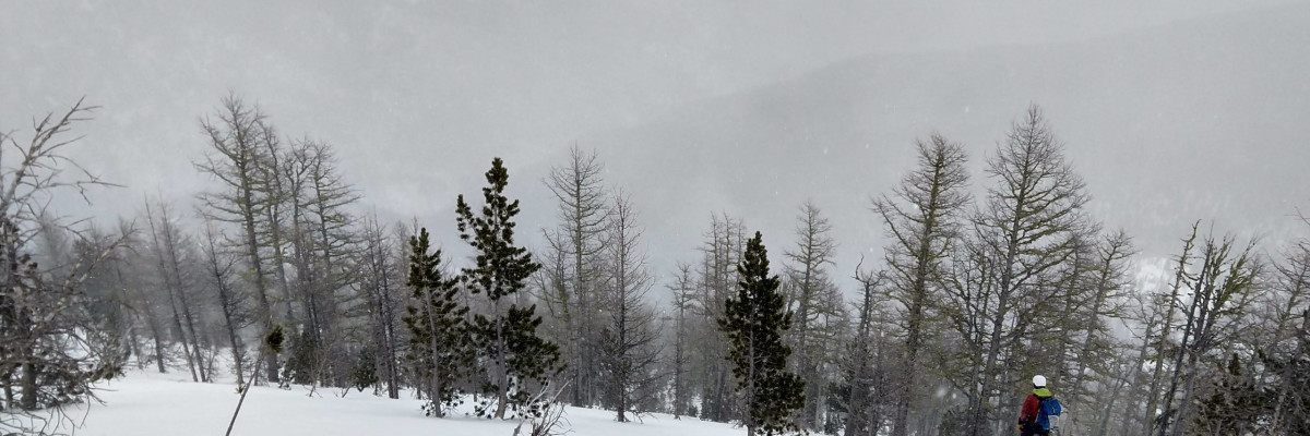
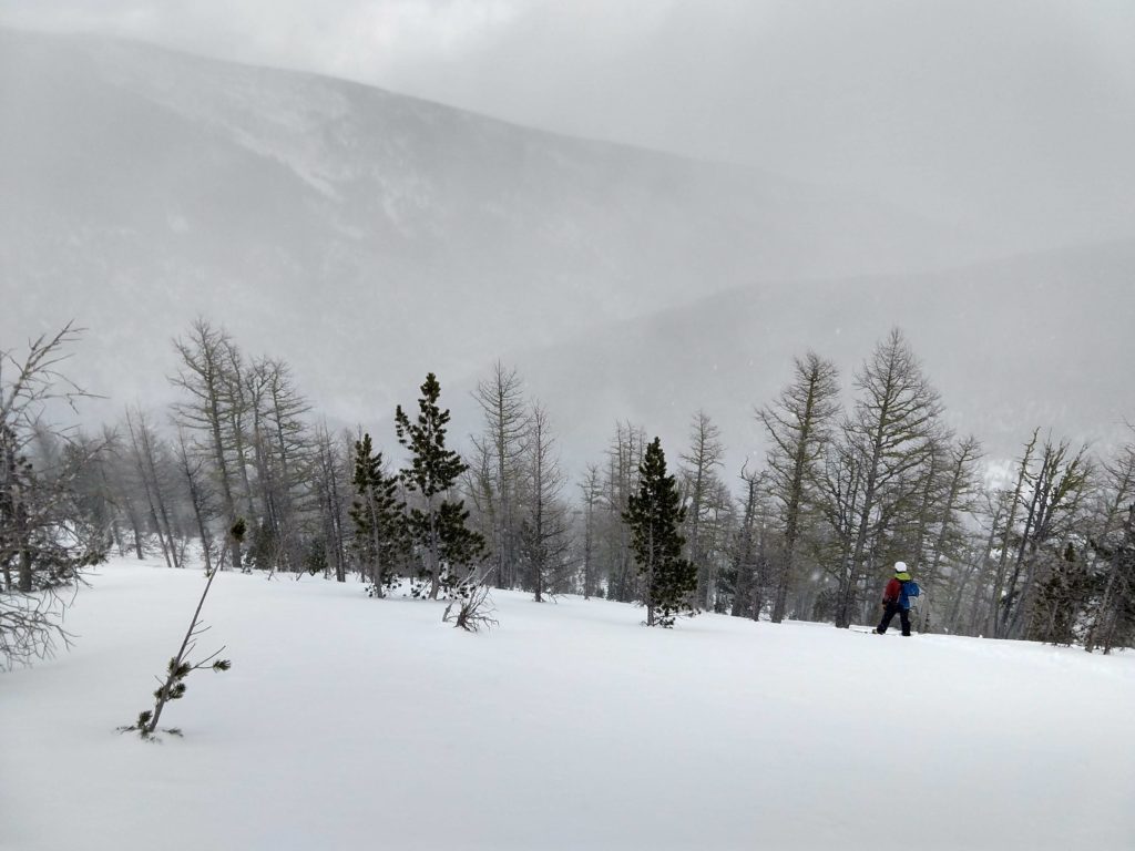
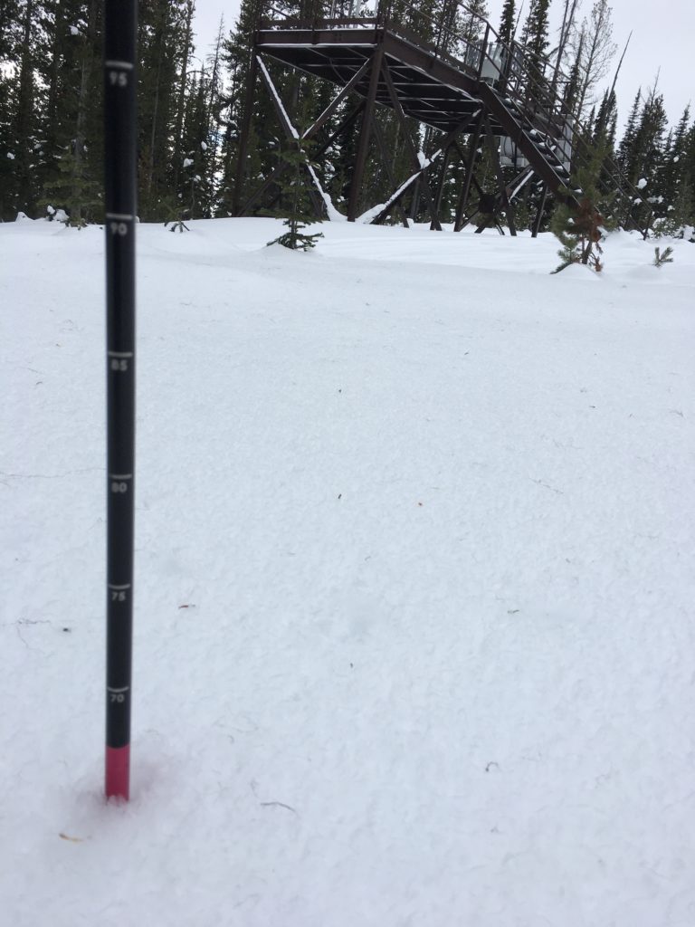
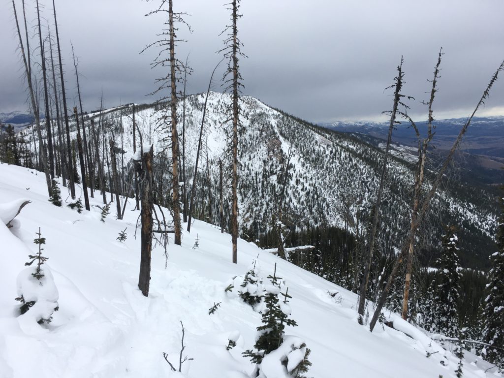
Below 7000′ feet, the snowpack is minimal, early season hazards, trees, and rocks are everywhere. Above 7000′, snow depths grow. At upper elevations, they are at or above average and mostly stable conditions exist. However, this base is starting to change with the high pressure we’ve had and will continue to change with the fair weather forecast for next week.
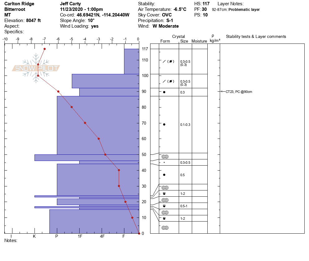
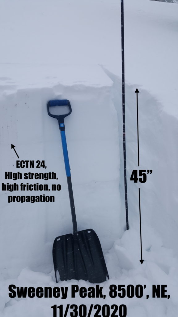
We are starting to see near-surface faceting in the upper 10″ and faceting grains below the rain crust, about 15″ from the ground. While these haven’t adversely affected the snowpack’s strength yet, they are something to keep an eye on. With an extended period of high pressure, we could see further faceting of the snowpack. This could undermine the foundation that the rest of our winter’s snow lands on.
In addition to facets within the snowpack, there is surface hoar to be aware of as well. Yesterday, extensive surface hoar was present at Lolo Pass and the Southern Bitterroots. It is probably present in other areas as well. High pressure and the inversion forecast for next week will likely lead to widespread surface hoar growth throughout the region. This will be a concern when the next storm lands on this very weak layer.
The bottom line:
Above 7000′, we have a mostly stable snowpack. Fresh snow and wind have created wind slabs on steep leeward terrain. Avoid wind-loaded slopes greater than 33º. Continue to practice safe travel protocols in case you find an exception to a generally stable snowpack. Travel one at a time in avalanche terrain, carry a beacon, shovel, and probe, and stay alert for signs of instability. Dig a pit. Look for red flags.
Below 7000′, the snow mostly lacks the depth for decent skiing or avalanches.
High pressure has weakened the snowpack with faceting and created surface hoar. It will continue to do this through the rest of the week. These layers will be important to take note of as they will affect stability with subsequent snowfall. Please help us track these layers by submitting an observation if you get out in the backcountry.
Ski and ride safe


