
The avalanche danger is LOW in the west central Montana backcountry. The snowpack is generally stable. There may be unstable snow in isolated terrain features.
This is Travis Craft with the West Central Montana Avalanche Center’s avalanche advisory for December 10, 2020. This advisory does not apply to operating ski areas, expires at midnight tonight, and is the sole responsibility of the U.S. Forest Service.
Weather and Snowpack
It is currently 36 degrees F at the Missoula airport this morning. Mountain temperatures range from 30 F at Lolo pass to 19 F at Saddle mountain near Lost Trail pass. Yesterday a short burst of active weather brought a trace to an inch of snow to the advisory area.
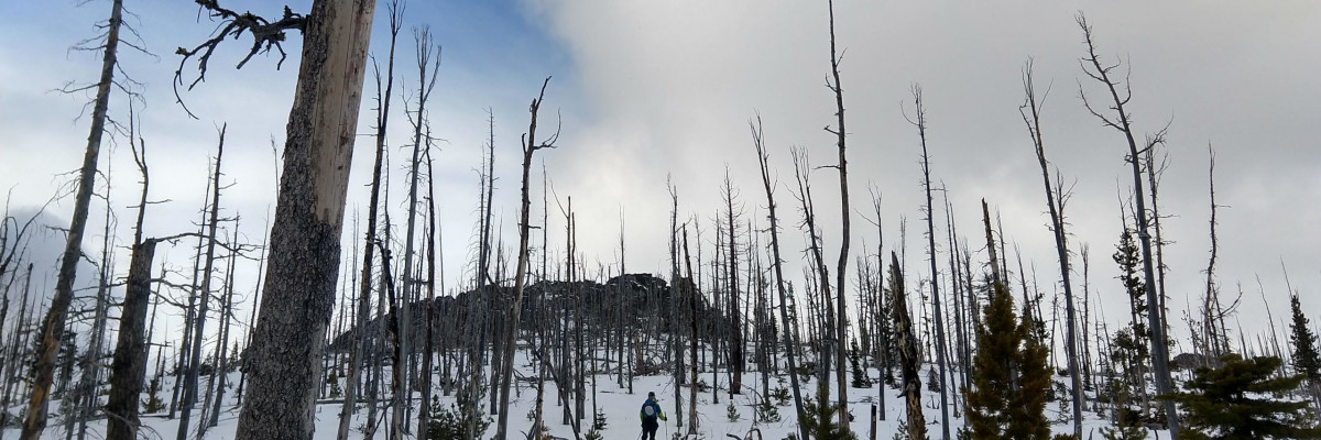
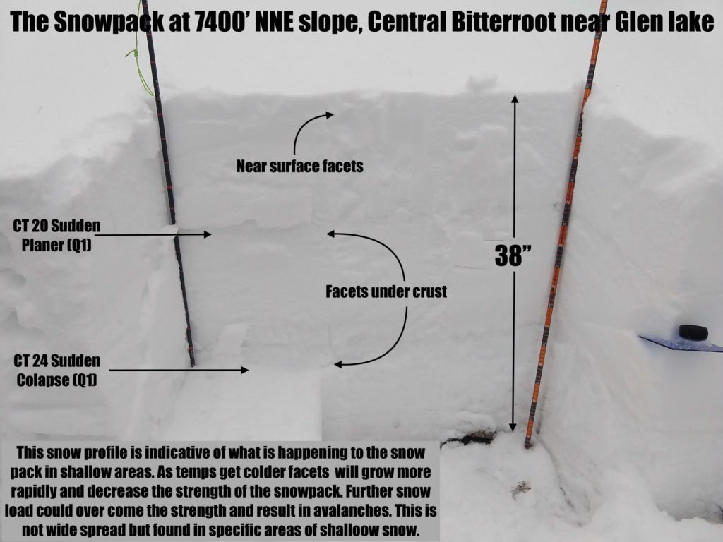
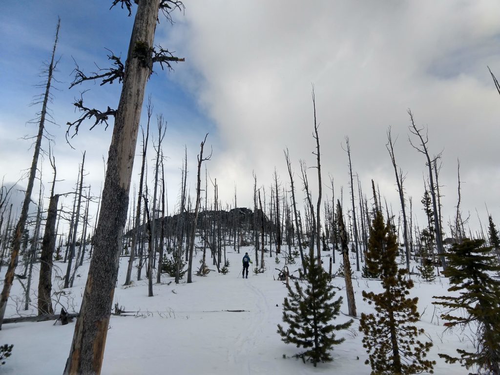
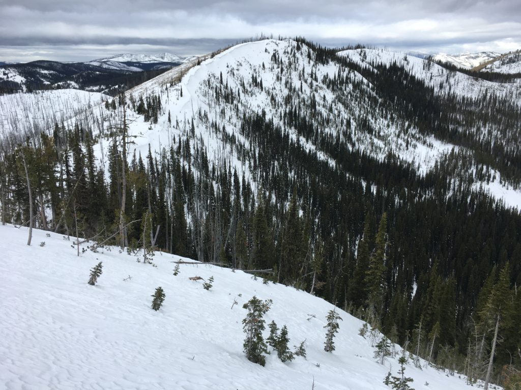
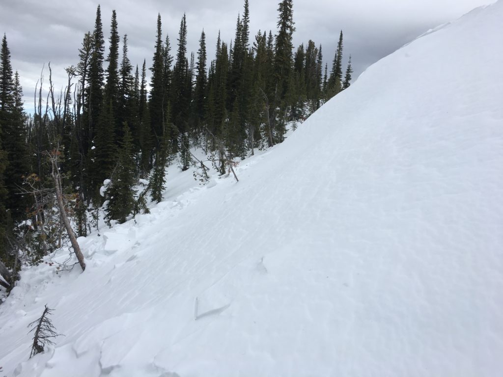
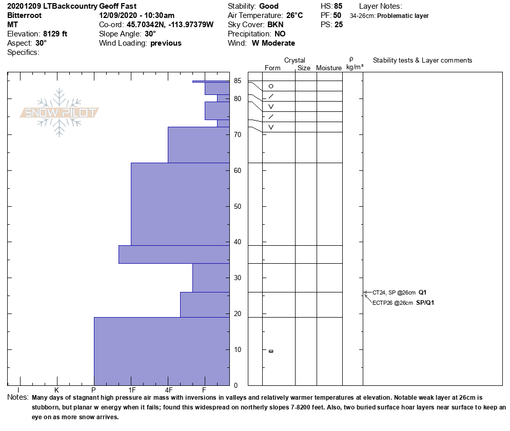
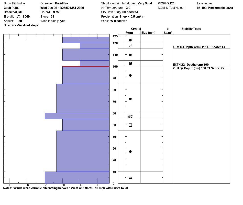
Snow depths range from 14 inches around 6000 ft to 24 inches at 7500 ft and 50 inches at 8600 ft in the Gash point area in the Bitterroot. This is fairly consistent with what we are finding throughout the forecast area. The snow surfaces are a mixture of firm snow, faceted snow, wind-scoured slopes, and isolated pockets of surface hoar in shady aspects. There are persistent weak layers to investigate and track in the top third of the snowpack above 6500 ft. The first is buried surface hoar in the southern Bitterroot. The other is a layer of facets found near Glen Lake and Gash Point in the Bitterroot. The last layer to look at is weak faceted snow in the bottom third of the snowpack, located near Lost Trail. Overall the snowpack is stable.
Dig a pit before committing to any steep slope. Watch for obstacles in areas of thin snowpack. Pay attention to changing weather conditions and how they are affecting avalanche danger.
Bottom Line
The snowpack is generally stable. Low danger does not mean no avalanche danger.
Practice safe travel protocols. Travel one at a time in avalanche terrain, carry a beacon, shovel, and probe, and stay alert for signs of instability. Dig a pit. Look for red flags.
Special Announcements:
Due to COVID-19, the West Central Montana Avalanche Foundation could not host our biggest annual fundraiser in person this year. While we look forward to having an in-person event again in the future, the Pray for Snow online auction has arrived. The auction is open now and ends on Tuesday, December 15th at 10 pm MST. All proceeds benefit the West Central Montana Avalanche Center and provide free educational opportunities for all backcountry user groups. Please help us spread the word and show your support by participating HERE
The avalanche center forecasts a 1420 square mile area stretching from Lost Trail to Seeley Lake; we can’t see it all weekly. Your snowpack and conditions observations help fill in the gaps and produce a more accurate forecast. If you get out, please take a minute to fill out the online observation form.
Ski and ride safe.


