
The avalanche danger is LOW in the west central Montana backcountry. The snowpack is generally stable. There may be unstable snow in isolated terrain features.
This is Travis Craft with the West Central Montana Avalanche Center’s avalanche advisory for December 12, 2020. This advisory does not apply to operating ski areas, expires at midnight tonight, and is the sole responsibility of the U.S. Forest Service.
Weather and Snowpack
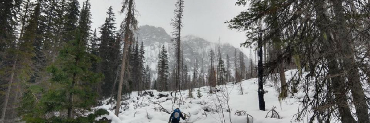
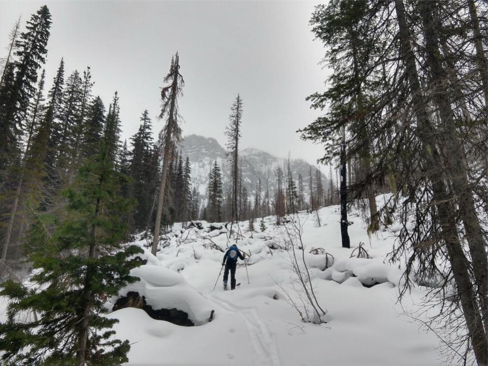
Temperatures range from 14 degrees F to 24 degrees this morning. 1 to 3 inches of new snow fell in the last 24 hours.
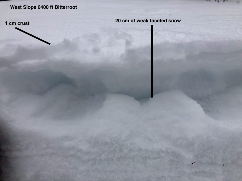
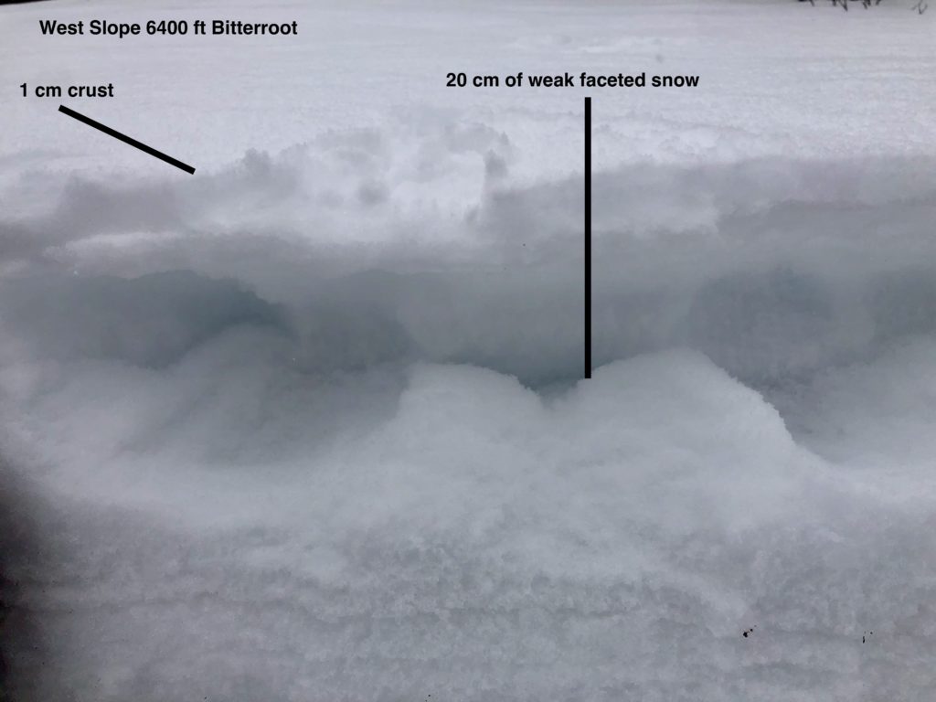
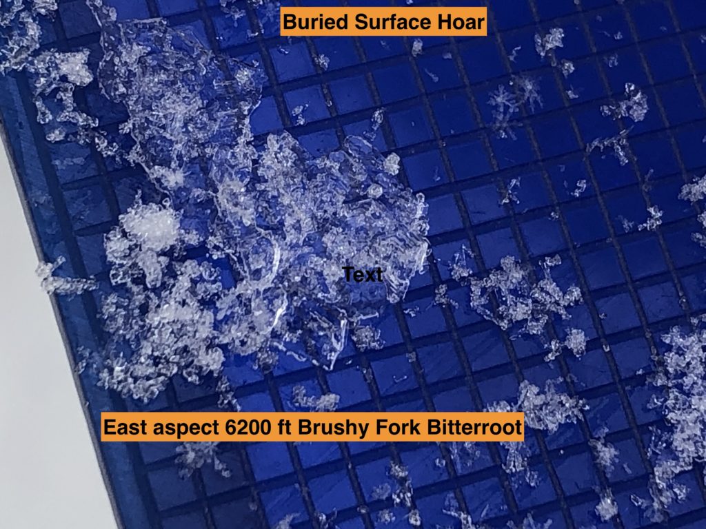
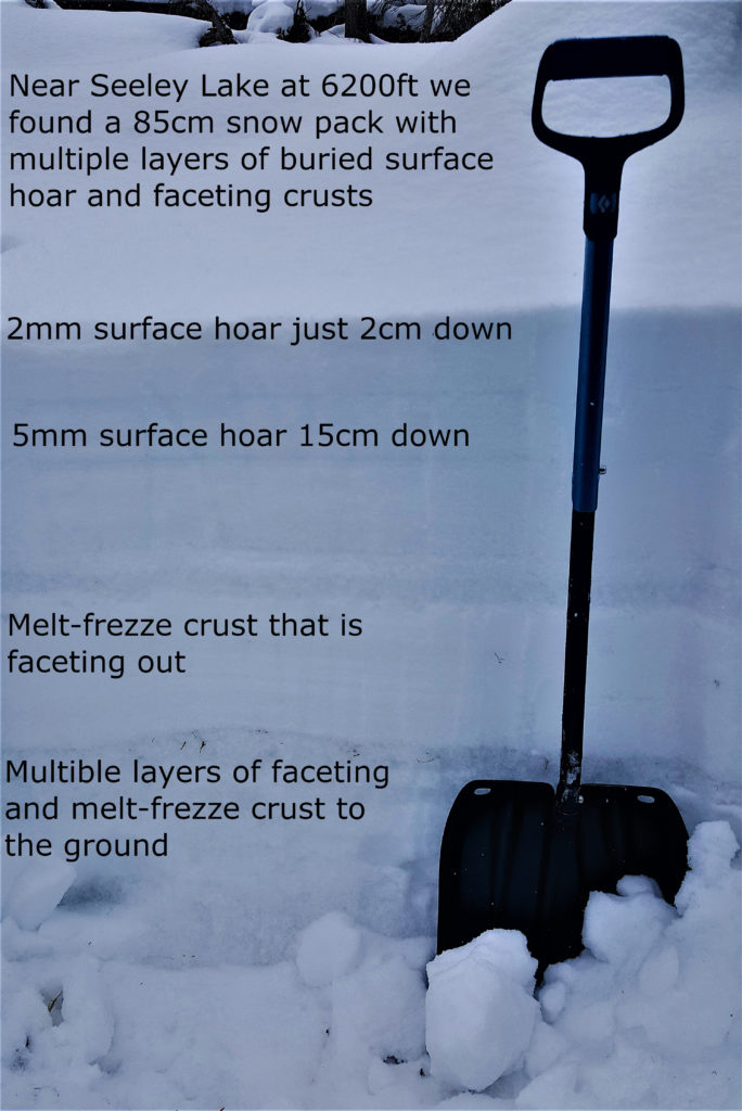
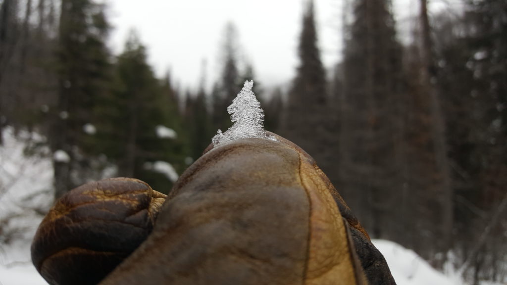
Yesterday we found multiple weak layers in our snowpack. None of these layers were reactive in our pit tests. There are two layers of buried surface hoar in the top third of our snowpack. They are not on every aspect. We have found these layers in the southern Bitterroot near Lost Trail pass, in Seeley Lake area, and the central Bitterroot. We have weak faceted crust combinations on other aspects. There is weak faceted snow near the ground. These layers are not a problem now but with more loading, next week are the ones to keep our eyes on.
The new snow is not yet enough to tip the scales for our weak layers to be a problem. If you are out and you start to see more than 8 inches of new snow, dial back your terrain and investigate our weak layers in the snowpack.
Dig a pit before committing to any steep slope. Watch for obstacles in areas of thin snowpack. Pay attention to changing weather conditions and how they are affecting avalanche danger.
Bottom Line
The snowpack is generally stable. Low danger does not mean no avalanche danger. There are multitudes of old snow surfaces ,and weak layers varied on aspect and elevation. Take the time when traveling to inventory how the snow is changing when traveling. These will be landmarks for navigating the avalanche danger when we experience a more active weather period in the next week.
Normal caution is called for today. Practice safe travel protocols. Travel one at a time in avalanche terrain, carry a beacon, shovel, and probe, and stay alert for signs of instability. Dig a pit. Look for red flags.
Special Announcements
Due to COVID-19, the West Central Montana Avalanche Foundation could not host our biggest annual fundraiser in person this year. While we look forward to having an in-person event again in the future, the Pray for Snow online auction has arrived! The auction is open now and ends on Tuesday, December 15th at 10 pm MST. We will be adding new items throughout the weekend, so remember to check back in. All proceeds benefit the West Central Montana Avalanche Center and provide free educational opportunities for all backcountry user groups. Please help us spread the word and show your support by participating HERE
The avalanche center forecasts a 1420 square mile area stretching from Lost Trail to Seeley Lake; we can’t see it all weekly. Your snowpack and conditions observations help fill in the gaps and produce a more accurate forecast. If you get out, please take a minute to fill out the online observation form.
Ski and ride safe.


