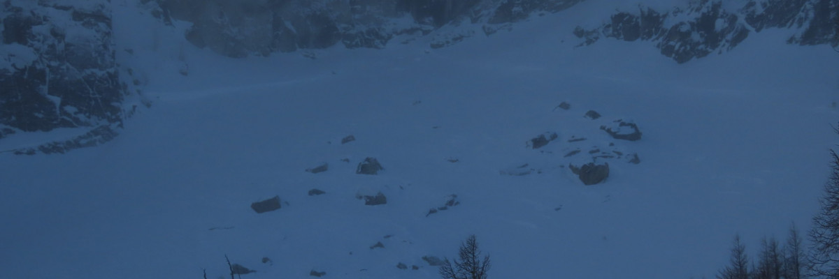
The avalanche warning has ended. The avalanche danger for the west central Montana backcountry is HIGH. This danger rating does not apply to operating ski areas and is the sole responsibility of the U.S. Forest Service. Tomorrow’s forecast will update avalanche conditions.
Continued snow and wind will accompany rising temperatures with freezing levels climbing up to 8000′ and rain to 7000′ by Wednesday morning. Up to 3” of SWE is expected by tomorrow night. Avalanche hazard will increase with the storm. Of particular concern is the effect of warm temps, heavy snow, and rain on mid-elevations where the snowpack has the worst structure. Wind slab will be growing. Widespread surface hoar under the new snow is an issue. Natural avalanches are likely, human triggered avalanches are certain.
Variable is the best way to describe the snowpack throughout the forecast area. Minutely variable. Wide-ranging conditions can be found in very close proximity making stability assessments challenging. Yesterday at Gash Point the 6’ deep snowpack at 7300’ on the north aspect was well consolidated with no concerning layers. 500’ lower at 6800’ on the same aspect the snowpack was 3’ deep, comprised entirely of facets. It has truly terrible structure that cannot be trusted. Shallow mid-elevation and wind-scoured areas have similar faceting throughout the forecast area.
In the southern Missions yesterday, a small human triggered avalanche ran on buried surface hoar. A similar problem exists throughout the forecast area.
The north aspect of Mt. Fuji over the weekend was showing increased strength and consolidation, while the south face has developed depth hoar and failing in tests.
In the southern Bitterroot yesterday, small wind slabs were touchy, and faceted layers remain a concern.
The Rattlesnake may have the shallowest snowpack in the area and as a result the worst structure. Some spots are touchier than others but the whole zone requires caution. Staying under 30º is wise.
Throughout the forecast area there was widespread surface hoar prior to this storm.
Heavy snow and wind are rapidly loading all of these layers and problems. Warm temperatures are loosening bonds within the snowpack. Rain may further deteriorate stability.
The Bottom Line
Travel in avalanche terrain is not recommended. Avoid runout zones. You can trigger an avalanche remotely.
This warning will be terminated or extended tomorrow at 7:00 pm.
Ski and ride safe.


