Toggle Navigation
Forecasts
Current Forecast
Forecast Archive
Forecast Mailing List
National Map
Observations
Recent Observations
2022 Obs before 12/10
Submit Observation
Education
All Education Events
Education Information
Resources
Weather Stations
Avalanche Links
Accidents & Reports
Photo Archive
Snow Profiles
Avalanche Terms
Weather Forecast
About
Mission & Vision
Board of Directors
Staff
Contact Us
Blog
Memberships
Join
My Account
Cart
Donate
2011/2012 Season
Missoula Avalanche Photo Gallery
1
1
2
2
2012-02-22_09-40-39_905
2012-02-22_09-40-39_905
2012-02-22_09-46-46_814
2012-02-22_09-46-46_814
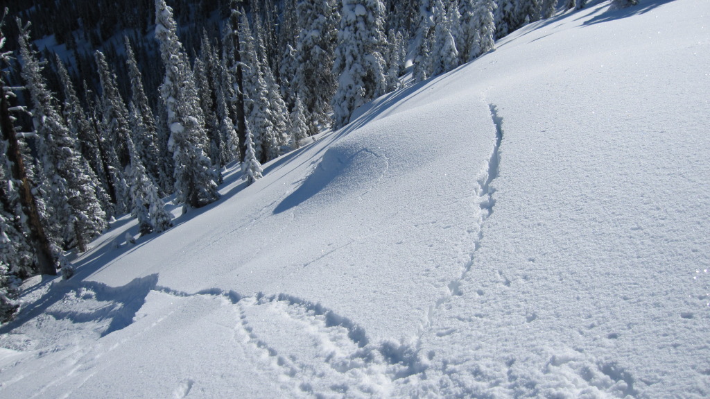
buckling snow 3_1_12
buckling snow 3_1_12
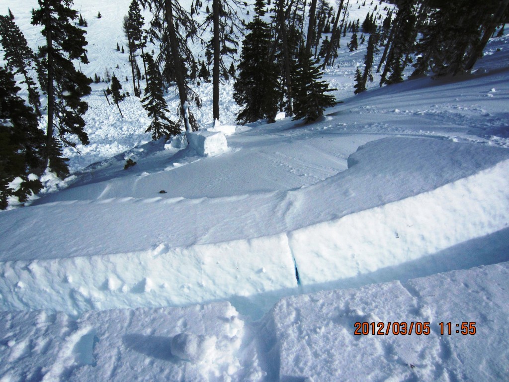
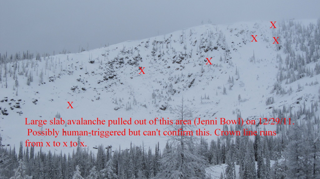
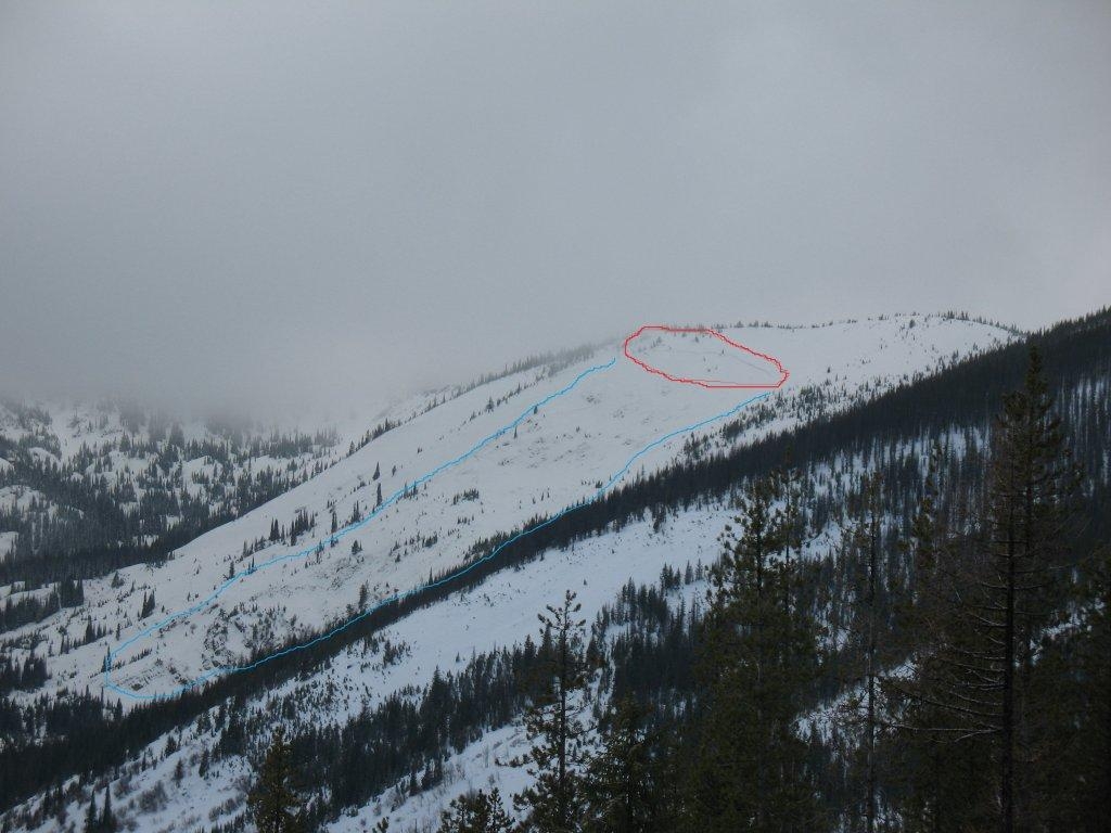
crown to rollover and debris
crown to rollover and debris
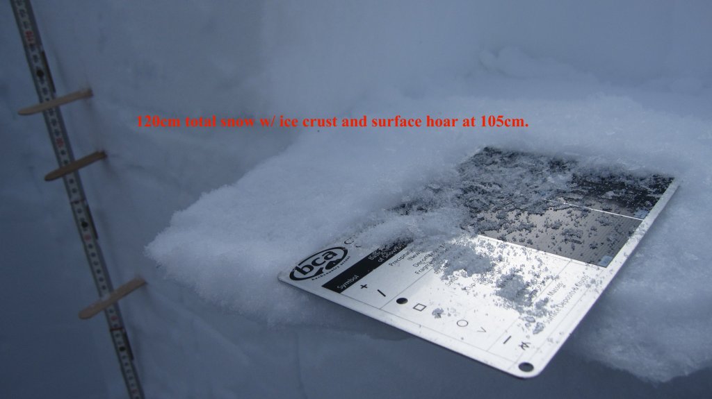
hoar_crust_hoodoo_2_5_12
hoar_crust_hoodoo_2_5_12
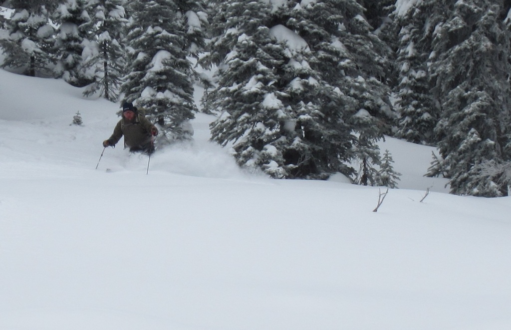
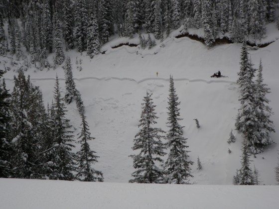
IMG_0042[1]
IMG_0042[1]
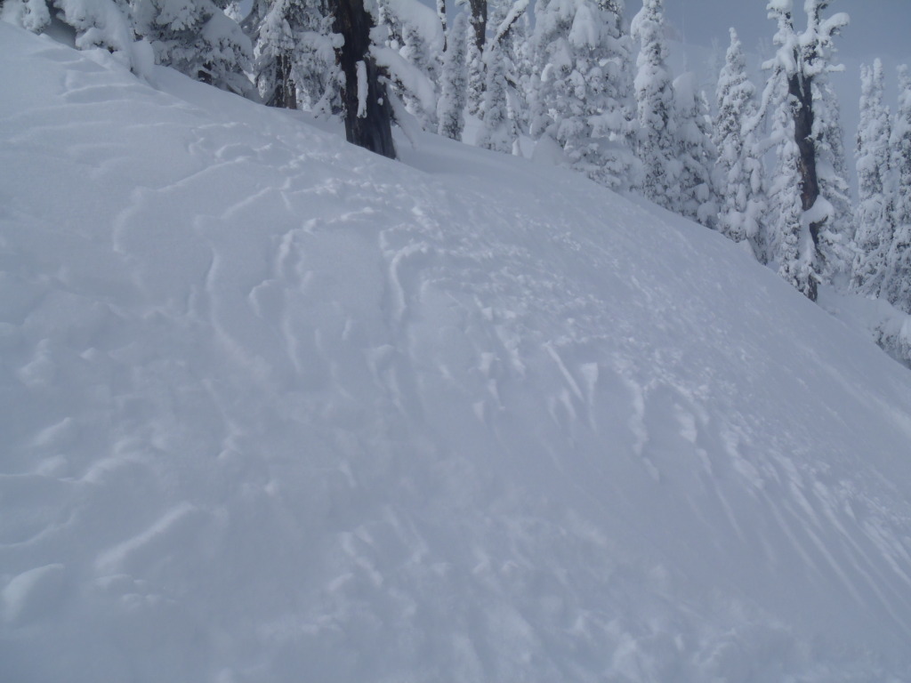
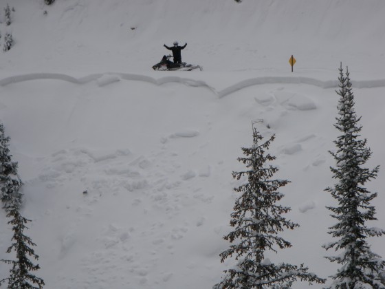
IMG_0045[1]
IMG_0045[1]
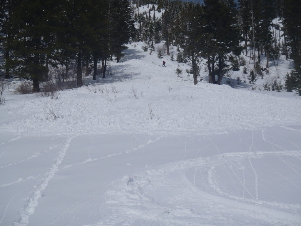
IMG_0054
IMG_0054
IMG_0065
IMG_0065
IMG_0111
IMG_0111
IMG_0156
IMG_0156
IMG_0694
IMG_0694
IMG_0694copy2
IMG_0694copy2
IMG_0716
IMG_0716
IMG_0724
IMG_0724
IMG_0725
IMG_0725
Kark_ski_12
Kark_ski_12
OLYMPUS DIGITAL CAMERA
OLYMPUS DIGITAL CAMERA
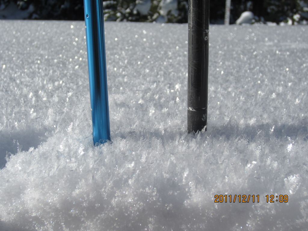
Surface Hoar development in the Rattlesnakes at 7600' 12/11/11 - the layer is on shaded and protected aspects and is 5cm thick
Surface Hoar development in the Rattlesnakes at 7600' 12/11/11 - the layer is on shaded and protected aspects and is 5cm thick
OLYMPUS DIGITAL CAMERA
OLYMPUS DIGITAL CAMERA
skalkaho_12_29_11
skalkaho_12_29_11
skalkaho2_12_29_11
skalkaho2_12_29_11
OLYMPUS DIGITAL CAMERA
OLYMPUS DIGITAL CAMERA
OLYMPUS DIGITAL CAMERA
OLYMPUS DIGITAL CAMERA
OLYMPUS DIGITAL CAMERA
OLYMPUS DIGITAL CAMERA
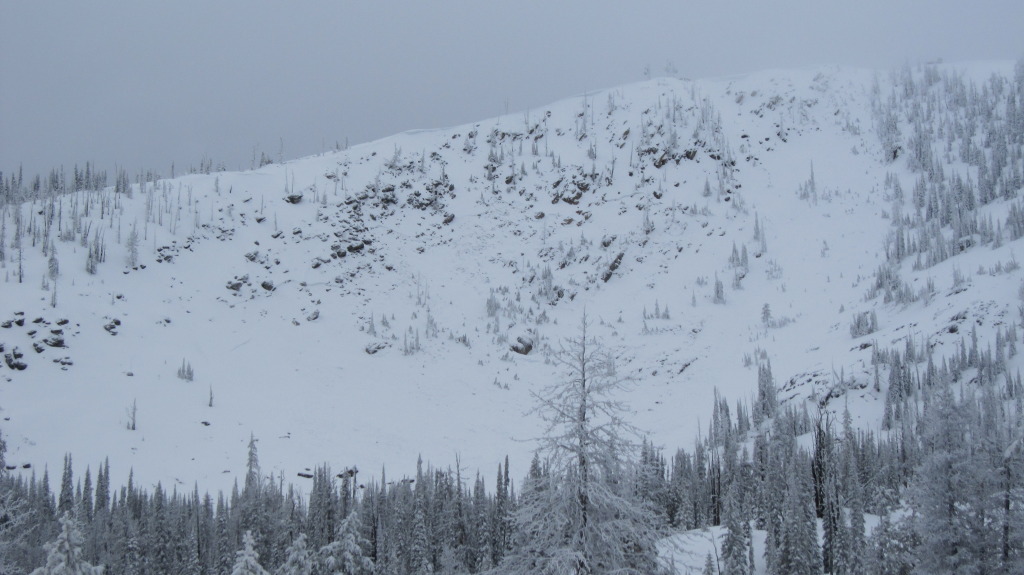
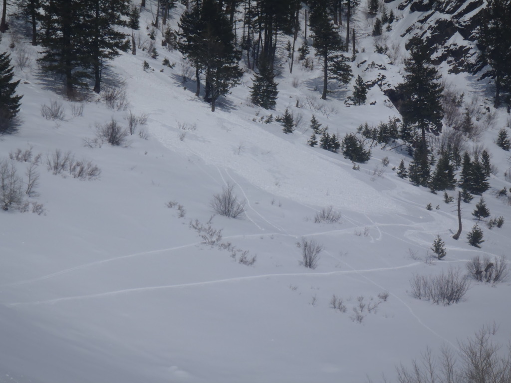
St.Regis Basin avalanche
St.Regis Basin avalanche
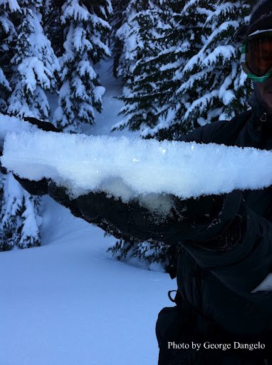
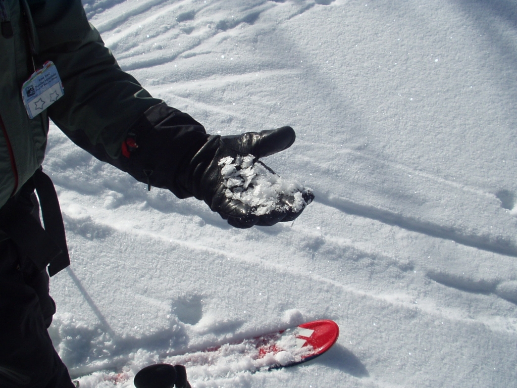
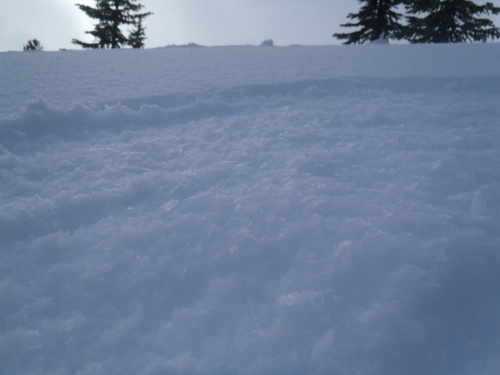
surface facets_1
surface facets_1
OLYMPUS DIGITAL CAMERA
OLYMPUS DIGITAL CAMERA
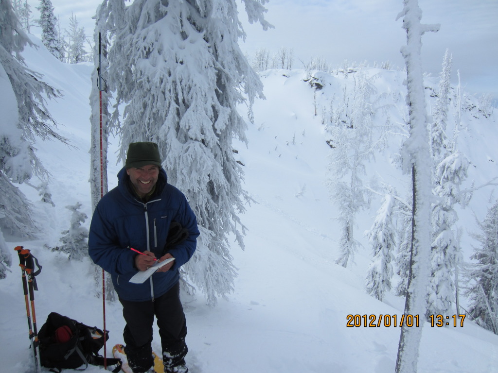
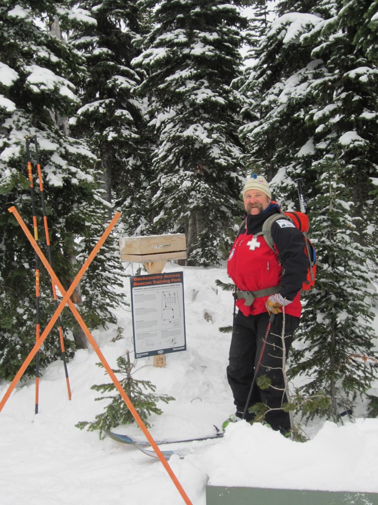
Travis Craft SB Beacon Park
Travis Craft SB Beacon Park
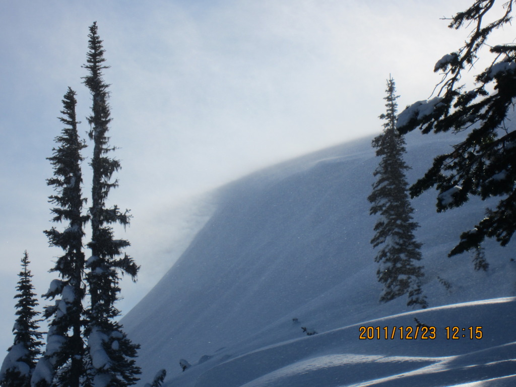
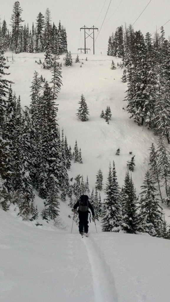
Wishard powerline
Wishard powerline
Supporters


![IMG_0042[1]](https://missoulaavalanche.org/wp-content/uploads/IMG_00421-1024x768.jpg)
![IMG_0045[1]](https://missoulaavalanche.org/wp-content/uploads/IMG_00451-1024x768.jpg)