Toggle Navigation
Forecasts
Current Forecast
Forecast Archive
Forecast Mailing List
National Map
Observations
Recent Observations
2022 Obs before 12/10
Submit Observation
Education
All Education Events
Education Information
Resources
Weather Stations
Avalanche Links
Accidents & Reports
Photo Archive
Snow Profiles
Avalanche Terms
Weather Forecast
About
Mission & Vision
Board of Directors
Staff
Contact Us
Blog
Memberships
Join
My Account
Cart
Donate
Gem Lake Avalanche – October 24, 2009
Missoula Avalanche Photo Gallery
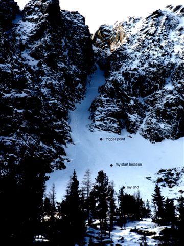
View of Avalanche Site. Marked locations are the injured person's (group B) location.
View of Avalanche Site. Marked locations are the injured person's (group B) location.
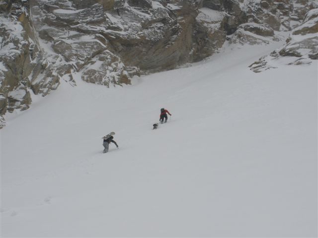
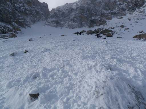
First group bootpacking into the coulior just before the avalanche occurred.
First group bootpacking into the coulior just before the avalanche occurred.
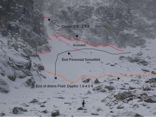
Gem Lake Avalanche Site. X marks the location of all 4 when the slope slid. All were tumbled through the talus slope below the snowfield.
Gem Lake Avalanche Site. X marks the location of all 4 when the slope slid. All were tumbled through the talus slope below the snowfield.
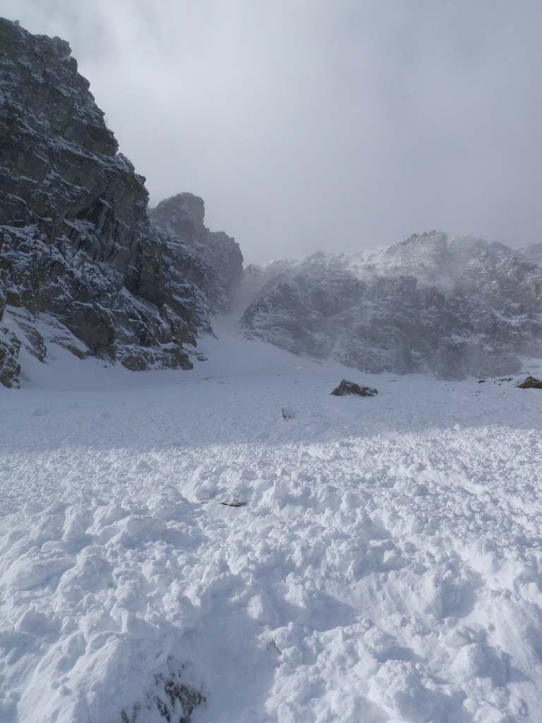
Looking upslope from position where lowest person ended up.
Looking upslope from position where lowest person ended up.
Talus slope the 4 were carried through.
Talus slope the 4 were carried through.
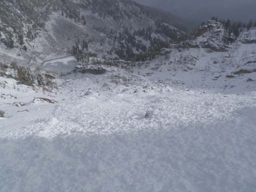
View downslope from location of lowest person. Gem Lake is at the bottom of the slope.
View downslope from location of lowest person. Gem Lake is at the bottom of the slope.
Supporters


