Toggle Navigation
Forecasts
Current Forecast
Forecast Archive
Forecast Mailing List
National Map
Observations
Recent Observations
2022 Obs before 12/10
Submit Observation
Education
All Education Events
Education Information
Resources
Weather Stations
Avalanche Links
Accidents & Reports
Photo Archive
Snow Profiles
Avalanche Terms
Weather Forecast
Blog
Cart
Donate
Lake Missoula Avalanche – March 28, 2010
Missoula Avalanche Photo Gallery
In memory of Timothy James "TJ" Grieser. Ride on TJ! Photo courtesy of Becky and Jim Grieser.
In memory of Timothy James "TJ" Grieser. Ride on TJ! Photo courtesy of Becky and Jim Grieser.
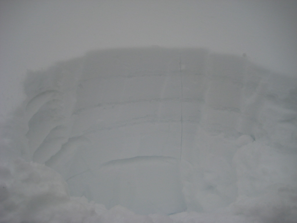
Snow Profile taken on avalanche flank shows 3 MF layers above buried surface hoar layer approximately 18-20" deep.
Snow Profile taken on avalanche flank shows 3 MF layers above buried surface hoar layer approximately 18-20" deep.
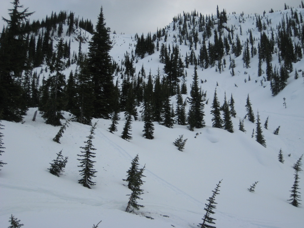
Slide path. Fracture was initiated as the rider neared the group of trees 200' below ridgetop.
Slide path. Fracture was initiated as the rider neared the group of trees 200' below ridgetop.
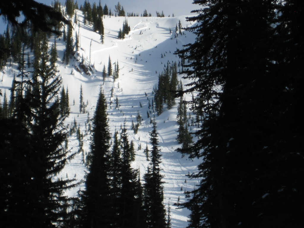
Looking uphill to the crown. Avalanche was split by this small spur ridge and the gullies on either side are terrain traps.
Looking uphill to the crown. Avalanche was split by this small spur ridge and the gullies on either side are terrain traps.
Looking uphill from the debris field. Person in the center of the shot is standing where the snowmobile was found. TJ was found about 70 feet uphill from the sled against a small group of trees.
Looking uphill from the debris field. Person in the center of the shot is standing where the snowmobile was found. TJ was found about 70 feet uphill from the sled against a small group of trees.
Slide path. Fracture was initiated as the rider neared the group of trees 200' below ridgetop.
Slide path. Fracture was initiated as the rider neared the group of trees 200' below ridgetop.
Snow Profile taken on avalanche flank shows 3 MF layers above buried surface hoar layer approximately 18-20" deep.
Snow Profile taken on avalanche flank shows 3 MF layers above buried surface hoar layer approximately 18-20" deep.
Supporters


