Missoula Avalanche
  • Forecasts
    • Current Forecast
    • Forecast Archive
    • Forecast Mailing List
    • National Map
  • Observations
    • Recent Observations
    • 2022 Obs before 12/10
    • Submit Observation
  • Education
    • All Education Events
    • Education Information
  • Resources
    • Weather Stations
    • Avalanche Links
    • Accidents & Reports
    • Photo Archive
    • Snow Profiles
    •   Avalanche Terms
    •   Weather Forecast
  • Blog
  • Memberships
  • Cart
  • Donate

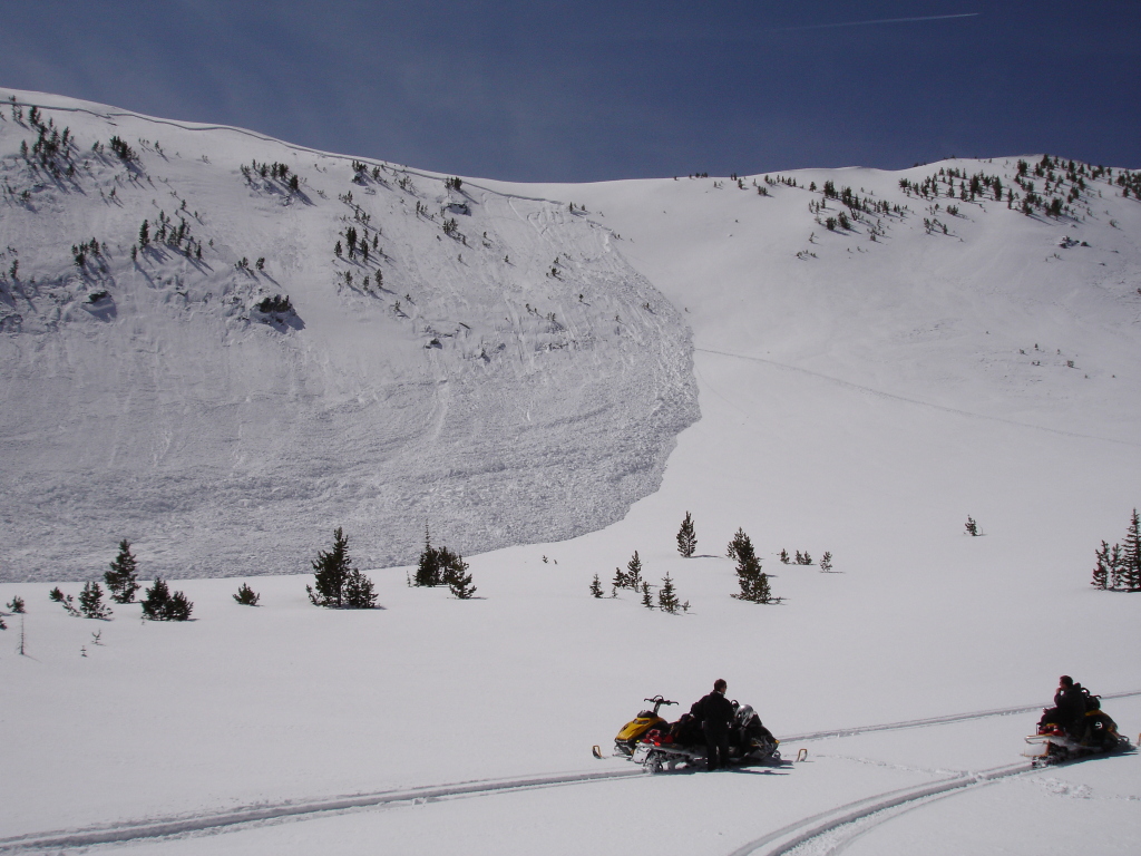
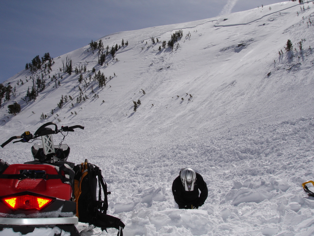
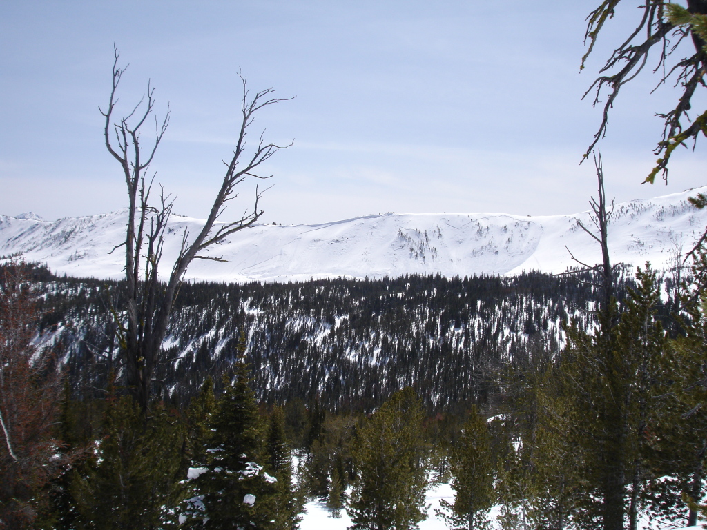
Southern Bitterroot Avalanche – April 10, 2010

 Missoula Avalanche Photo Gallery
4_10_2010a
4_10_2010a
4_10_2010b
4_10_2010b
4_10_2010c
4_10_2010c
4_10_2010pan
4_10_2010pan

Supporters

On X Maps Image
LB Snow Image
Gull Boats & RV Image
CalTopo Image
Polaris Image
Montana Backcountry Yurts Image
Russell Motorsports Image
Downing Mountain Lodge Image
TDS Fiber Image
Krispy Kreme Image
Goat Maps Image
Alpine Physical Therapy Image
Gull Ski & Snowboard Image
Florence Coffee Company Image
The TrailHead Image
Zilla State Image
Inspire Physical Therapy Image
Tradeworks Construction Image
Board of Missoula Image

Resources

  • Observations
  • Avalanche Links
  • Accidents & Reports
  • Photo Gallery
  • Snow Profiles
  • Avalanche Terms
  • Weather Forecast

About

  • Mission & Vision
  • Board of Directors
  • Staff
  • Beacon Training Parks
  • Contact Us

Support

  • Advertising & Sponsorship
  • Donate
West Central Montana Avalanche Foundation - Missoula Avalanche

© 2025 MissoulaAvalanche.org  |  Contact Us

Subscribe: Forecasts, News, Events

Forest Service Logo

This West Central Montana Avalanche Foundation is a 501(c)(3) nonprofit organization, an equal opportunity employer, and a special use permittee of the Bitterroot, Nez Perce-Clearwater, and Lolo National Forests. Avalanche information is provided through the U.S.D.A. Forest Service and describes general backcountry avalanche hazards and conditions. It does not apply to ski areas and highways where avalanche mitigation occurs.

Pro Login