Observation Date: 10/16/2019
Route/Location:
Alpine terrain in Trapper, Chaffin, and Tin Cup creeks
Weather:
Wind:
New Snow:
Avalanche Activity:
Other Comments:
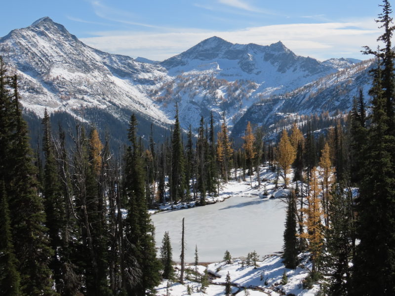
Mostly just a quick early season snow coverage update. I was up high in the southern Bitterroot on the 6th and 7th of October and again on the 15th and 16th. On the 6th and 7th there were roughly 10-20cm of snow on the ground, most of which was rapidly melting off of solar aspects. Temperatures did not seem to be warm enough to allow for significant melting on shaded aspects above ~6,000′ or 6,500′.
The storm on the afternoon of the 9th and the early morning of the 10th looked to have dropped a good 30cm on upper elevations in the Bitterroot and more like 10cm down lower. As with the previous batch of snow, most of this snow was melting off of the solars. However, above ~7,000′ the sun was having a tougher time melting the snow. Shaded aspects were retaining snow down to the valley floor. I encountered some small wind drifts along exposed ridges above 8,000′ but most of the snow seems to have remained where it fell. On shaded, upper elevation aspects, both the older and more recent snow is showing signs of faceting, though grain sizes are still small (<~1mm for new snow and <~2mm for older snow). This isn’t surprising, given the amount of solar input and the fact that temps have been cold enough to build and retain a skin of ice on some alpine lakes. On upper elevation slopes on the compass margins (approximately ESE-NE and WSW-NW) a 1-2cm crust separates the older snow from the snow that fell on the 8th and 9th. I suspect that a similar crust now exists on top of the snow from the 8th and 9th, though I did not directly observe this.
Bottom line: we’re building a stratified snowpack in shaded alpine terrain in the Bitterroot already. There is enough snow on the ground in this terrain to generate avalanche problems with additional loading.
Observer: Ben VandenBos


