Observation Date: 11/23/2019
Route/Location:
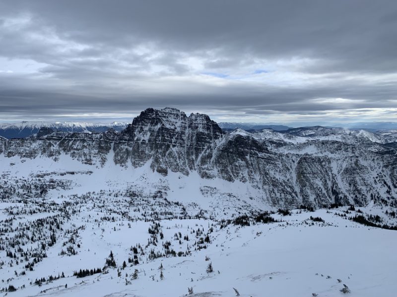
ESM ridge to Grey Wolf W couloir.
Weather:
Partly cloudy becoming mostly cloudy. Light rain developing around dusk at highway level on the drive back to Missoula. Mid elevation and upper elevation temps in the 20s, with significant wind chill on windward terrain.
Wind:
Moderate (primarily westerly) winds in the alpine with widespread pluming and snow transport in the upper elevations, especially along ridges and near peaks early in the day. Winds decreased somewhat through the day. Widespread wind affected snow (supportable windboard, breakable windboard, scoured to rain crust from last Sunday 11/17).
New Snow: No New Snow
Avalanche Activity:
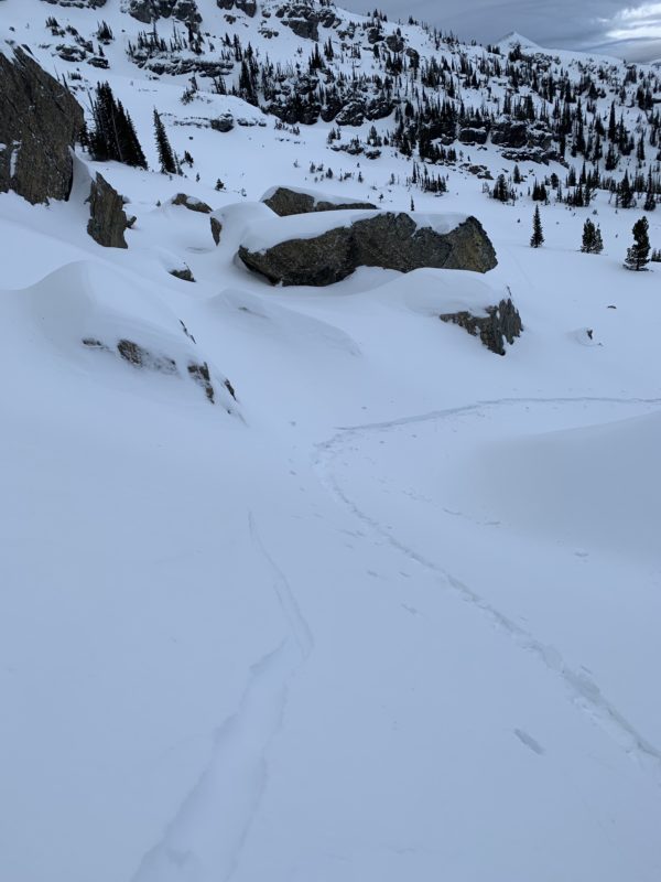
Small (D1) human triggered wind slab avalanche at ~7800′ NE aspect 40* slope (5-8cm 1F recently wind packed on several cms of 4F faceting low density snow from Tuesday 11/19). Low energy shooting cracks similar elevation and aspect.
Other Comments:
Full on character building conditions currently exist in the Southern Missions. Surface conditions range from widespread slide-for-life rain crust on wind-exposed upper elevation terrain, breakable windboard, supportable windboard, and pockets of recycled (faceted) pow from Tuesday’s (11/19) precipitation.
Considering that rain and above freezing temperatures reached the upper elevations (to almost 9000′) from Sunday’s (11/17) storm, and the snowpack has since refrozen and stabilized, instabilities are primarily limited to near surface from what seems like 4-5″ of dry and low density snow from Tuesday (11/19).
Tuesday’s snow has faceted from midweek high pressure (where it has not been wind packed and rounded). In many areas it has been wind packed into wind slab, but these generally seem low energy and high friction (currently not posing much of problem).
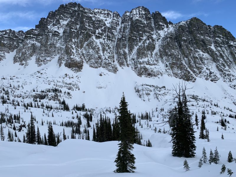
In the thinnest and weakest areas of the snowpack (upper elevation windward terrain), faceting is prominent below the 11/17 rain crust (with grain size increasing near the ground). In most areas, where the early season snowpack is already substantial and 1m+ in depth, the boilerplate rain and melt-freeze crusts have locked the previously wet snowpack into place and stabilized it.
Conditions will change with several inches of new snow and strong wind forecast for Sunday. Expect increasing danger, and potentially very reactive wind and storm slabs that will not bond well to near surface facets and slick crusts.
Most importantly, beware of the widespread slide-for-life conditions in the Missions.
Thanks to the Confederated Salish and Kootenai Tribes for sharing their wilderness with the general public (make sure you purchase your conservation permit in order to recreate in the Missions).
Observer: Mat Brunton