Observation Date: 01/03/2020
Route/Location:
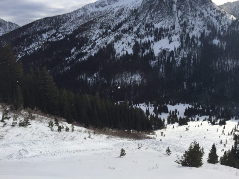
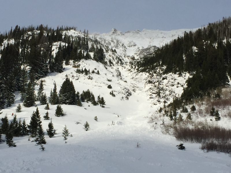
We walked back Bass to below the enormous south face of Big Jo.
Weather:
Skies were clearing throughout the day, intermittent sun in the afternoon.
Wind:
All-day winds were ripping up high (30-50 mph above 7,000 ft) and blowing strongly down in the valley as well (15-20 mph gusting to 30 mph)
New Snow: 12+”
Avalanche Activity:
Curious about the recent load to the pack we walked back Bass creek almost to the lake and encountered an enormous pile of debris that Big Jo had shed from it’s the longest South facing avalanche path that begins 3,000 ft above near the summit 9,500 ft-6,500 ft (SS-N-R3-D3). With so much wind and snow on the 2nd, much of the debris was covered and the starting zone was difficult to see from directly below. But from what debris we could see, the pile was 100 ft across fanning out to near 800 ft wide, and close to 1,000 ft long with a couple of piles 30-40 ft deep near the top of the pile. I imagine the large starting zone up on Big Jo became severely loaded and ran on the faceted crust interface ~45 cm down.
Other Comments:
We dug around and found surprisingly stable conditions in our snow pit which was dug near 6,500 ft, S aspect, ~ 30 degrees, HS 90 cm, we got a couple of ECT-N’s in the mid-teens down 20 cm where the new snow changed density, and a PST 90/100 on the crust/ new snow interface down 45 cm.
Observer: Ned Gall