Observation Date: 01/13/2020
Route/Location:
Toured up to 6200′ on the southern Bitterroot front. Snow depth increased from 6″ at 4200′ to 48″ at 6200′.
Weather:
cold–in the low teens–with light snow and light to moderate SW winds. Poor picnicking.
Wind:
SW with some gusts into the low 20s. Not much transport now, but there appeared to have been quite a bit during the previous night’s storm–see below.
New Snow: 3-6″
Avalanche Activity:
no
Other Comments:
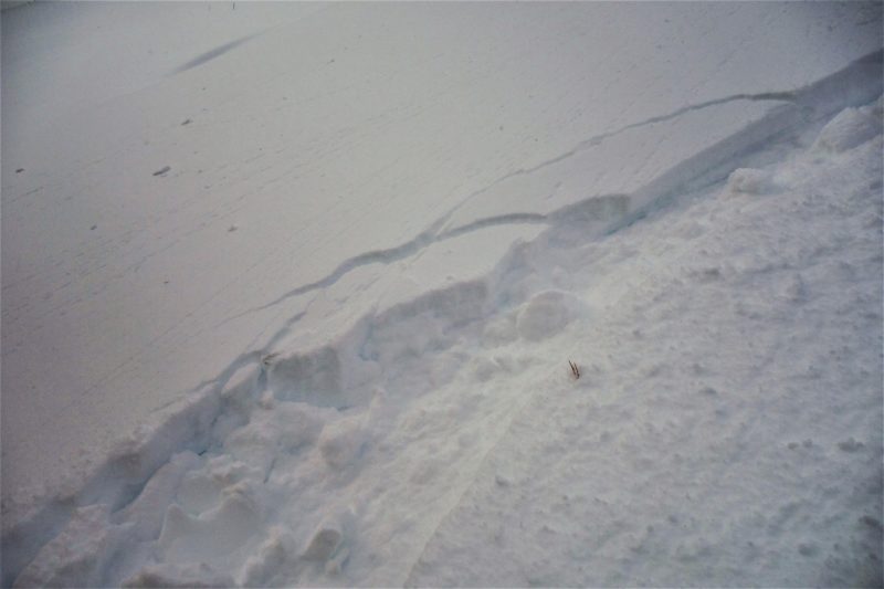
Just to add to the snowpack problems, a soft wind slab formed during the storm the previous night (about 5″ new), and overlies light density snow in most places.. Ski tracks were hollow and cracked (see photo below), and this upside-down snow did not ski nearly as well as in previous days. While the wind slab was soft, light, and unlikely to propagate at 6000′, it’s probably harder, thicker, and more dangerous at higher and more exposed elevations. There has been an incredible amount of new snow put down over the old, weak snow in the past 2 weeks here, but we have experienced no collapses nor observed much avalanche activity. Of course, visibility has been consistently poor, so who knows? A few lines up to 35 degrees are getting skied without incident.
Observer: J Lonn