
On wind-loaded slopes above 7000 feet that are 35 degrees and steeper, the avalanche danger is moderate in the west central Montana backcountry. In other terrain in the advisory area the avalanche danger is low.
Good Morning, this is Dudley Improta with the West Central Montana Avalanche Center’s advisory for January 12, 2016. This danger rating is the sole responsibility of the U.S. Forest Service, does not apply to operating ski areas and expires at midnight tonight. Logan, Brian and Travis are finishing up the field portion of the National Avalanche School in Jackson, WY; so Steve and I are issuing the advisories this week.
Weather and Snowpack
This morning, mountain winds, mainly out of the west, are blowing in the 15 mph range and gusting into the 30’s. Mountain temperatures are ranging from 11 degrees F near Lost Trail to 24 degrees F in the Rattlesnakes. It is snowing, with to 2 – 4 inches of accumulation overnight.
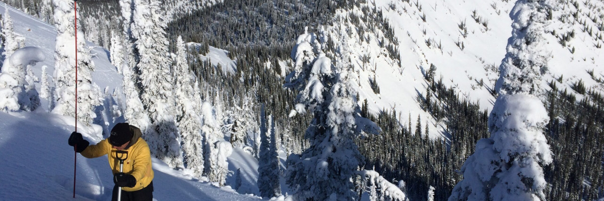
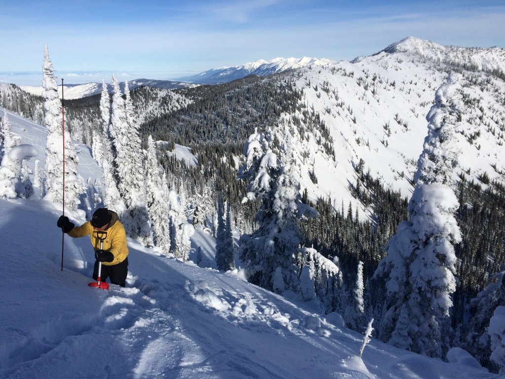
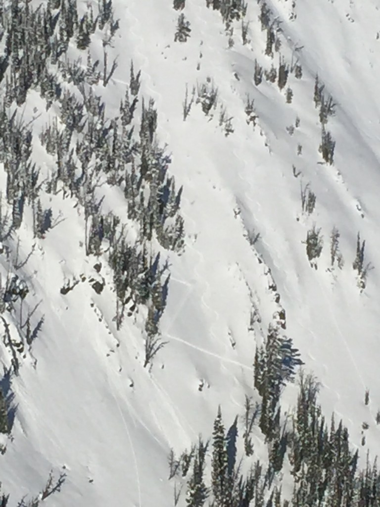
We also picked up a few inches of snow over the weekend. Specific areas, like the southern Missions and the central Bitterroots, received 6 inches of snow late Saturday and early Sunday. Higher elevation winds, mainly out of the west and southwest, blew in the 20 and 30 mph range consistently Saturday through yesterday. These winds moved all the snow available on to leeward slopes. Wind slabs are the primary problem right now and can be found on steep leeward slopes above 7000 feet. The conundrum is these leeward slopes are skiing and riding very well, and we haven’t exactly had an abundance of powder riding and skiing this season.
A secondary problem is loose snow sluffs; particularly in the areas that received the most snow. Yesterday, Steve and I triggered loose snow easily in the Rattlesnakes; but it was all on steep rollovers and aspects where the wind had deposited the new snow. This problem is going to be confined to the higher elevations as well. As one public observer noted; the sluffs “could be avoided, but were too big to ignore”.
Weather Forecast and Avalanche Outlook
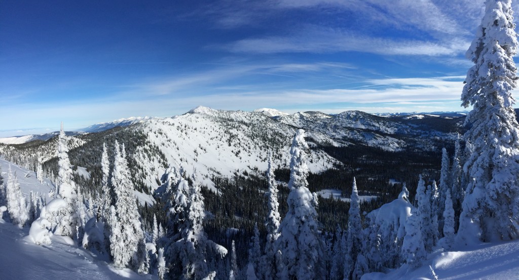
Yesterday was a beautiful day to be in the west central Montana backcountry. Yesterday’s high pressure has given way to a weak system today. Snow amounts are forecast to remain light with continuing westerly winds. There is talk of a stronger system arriving later tonight. I would expect the avalanche danger to increase with continued snow and wind.
Low and Moderate Danger
It’s easy to get complacent with periods of lower avalanche danger. We have observed quite a few less-than-safe skin tracks recently. Stick to your protocols; when negotiating avalanche hazard, only expose one member of the party at a time.
And, I would remind some that a few years ago an avalanche fatality occurred in the Bridgers when the Gallatin Avalanche Center had issued a low danger rating for the area. The accident took place in very steep, extreme terrain. In steep, exposed terrain you can never be 100 percent sure it won’t slide.
I will issue the next advisory on Thursday, January 14.
Public observations are important to the avalanche advisory and to riders and skiers. If you would like to send us snow observations use our public observations form or e-mail us at [email protected] .
There are openings in some Level 1 avalanche classes. For all avalanche education opportunities visit our education page.
Ski and Ride safe.


