
The avalanche danger in the west central Montana backcountry is CONSIDERABLE on wind loaded slopes and moderate on other slopes. Winds and new snow are creating dangerous avalanche conditions on wind loaded slopes.
Good Morning. This is Travis Craft with the West Central Montana Avalanche Center advisory on Saturday, February 20, 2021. This advisory is sponsored by LB Snow. This advisory does not apply to operating ski areas and expires at midnight tonight. The USDA Forest Service is solely responsible for its content.
Weather and Snowpack
Mountain temperatures range from 17 degrees to 26 degrees F this morning. Snotels are reporting between .3 and .7 SWE for the last 24 hours. Winds are predicted today to be out of the west and range 12 mph gusting into the 30’s.
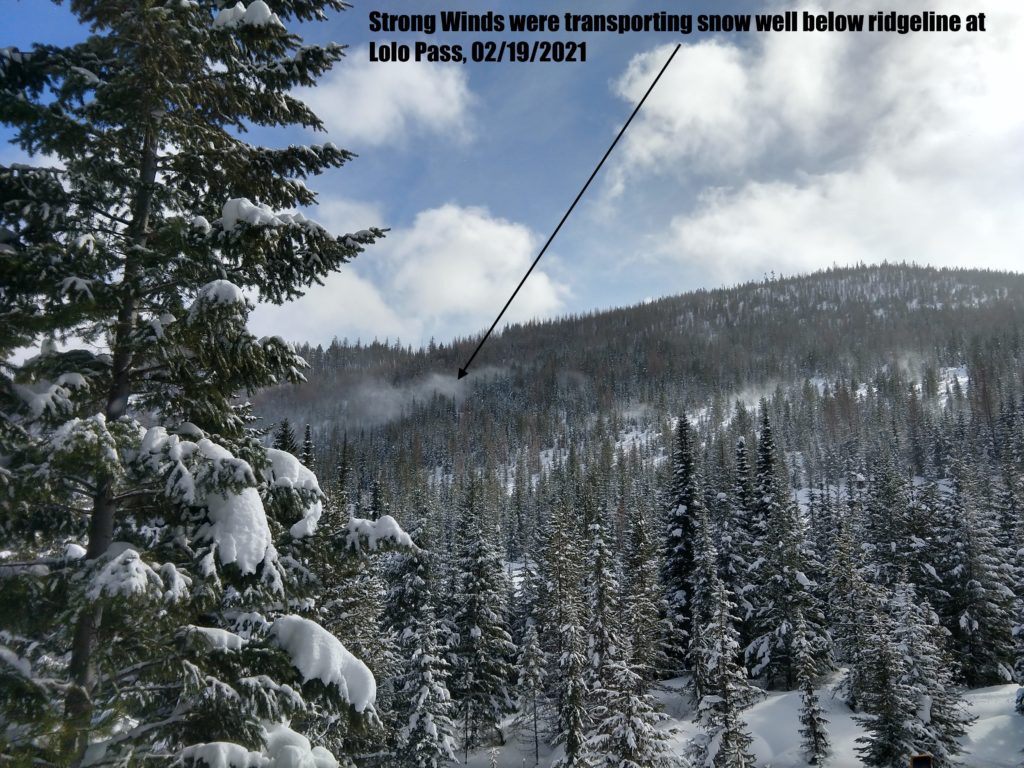
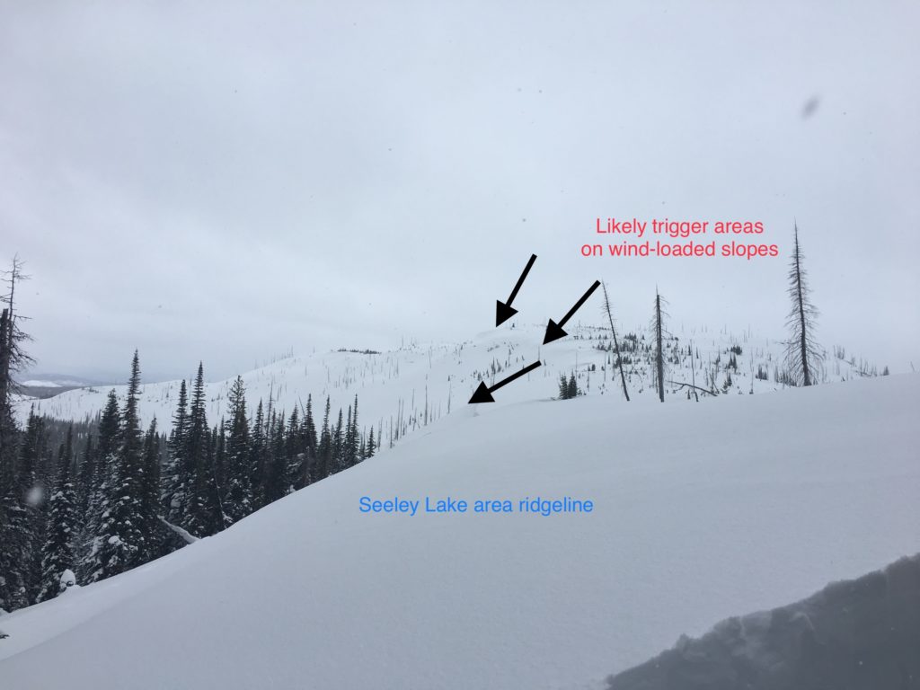
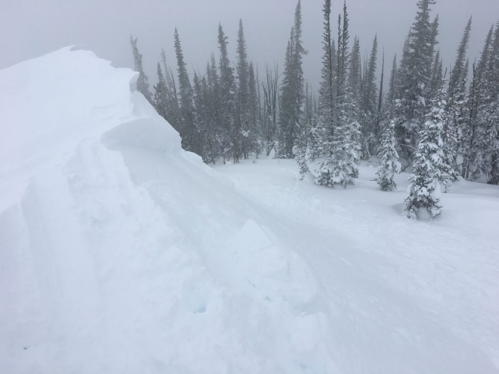
Winds were loading leeward slopes at higher elevations yesterday. We saw active snow transport in the southern Bitterroot, central Bitterroot, and southern Missions yesterday. Overnight winds have increased and created dangerous large slabs that will be easily triggered on leeward slopes. There is plenty of new snow available to transport. Yesterday our sled tracks were completely erased in 2 hours on the ridge in the southern Missions.
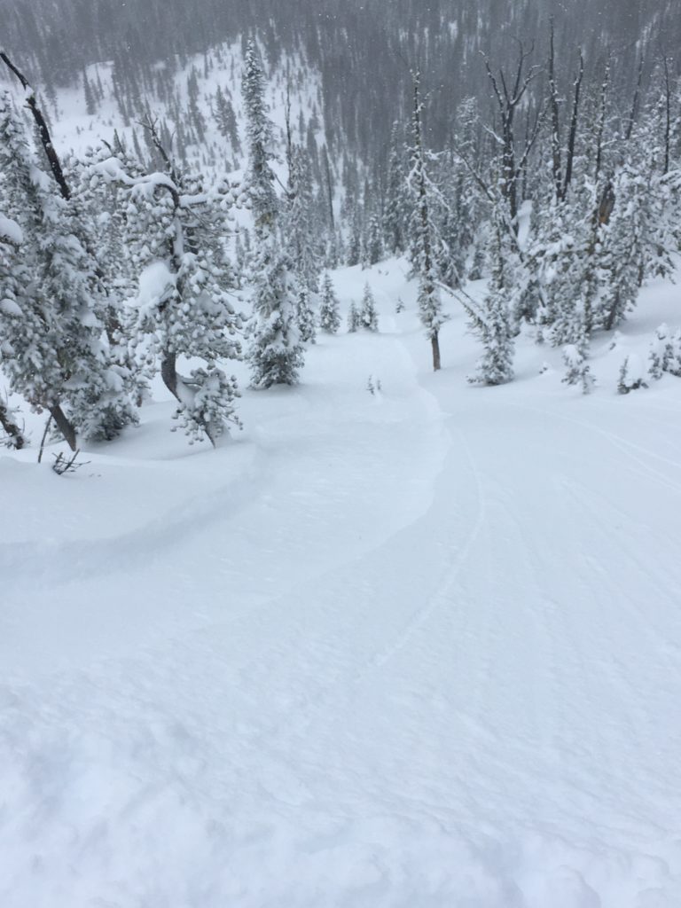
New snow was sluffing easily and quickly in steep terrain yesterday in the southern Bitterroot. Yesterday in the southern Missions we found a storm slab in terrain that was slightly wind blown. The new snow was not bonding well and propagating in our tests. While small, these sluffs could knock a skier off their feet. Terrain traps increase the consequences of these slides. In many areas, the new snow is denser than the underlying snow and as it consolidates soft storm slab avalanches are possible, convexities close to 38º are the most likely places for these. Use hand pits and small test pits to assess how the new snow is bonding to the old snow.
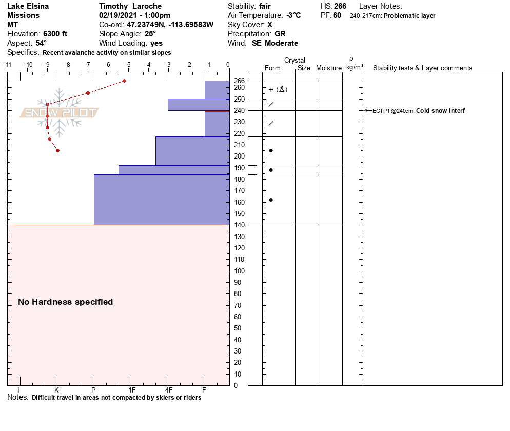
Frequent snowpack investigation is required to determine the presence of facets. Snow pits, probing with ski poles, and quick hand pits will all aid assessment. Where facets are found, avoid slopes over 30º. Previously shallow snowpacks at mid-elevations and wind swept areas have multiple faceted layers deep in the snowpack that are failing in stability tests and collapsing during travel. The persistent weak layers in our snowpack are slowly gaining strength but should not be discounted yet.If you get off your machine or skis and punch down deep into weak snow, this is a sign of poor snowpack structure and facets. Dig a pit, see if there is a shallow snowpack.
The Bottom Line
Today choose sheltered slopes. Avoid wind loaded terrain. Use hand pits and small test slopes to see how the new snow is bonding to the old snow. Dig a pit see if the snowpack is shallow 3 to 4 feet deep. Manage your terrain to your advantage. Mid elevations and north aspects are the most likely places to find persistent weak layers. Loose snow and storm slab is an issue on sheltered slopes over 38º. Frequent terrain and snowpack assessment are essential for safe travel.
Carry a beacon, shovel, and probe. Reassess conditions throughout the day and stay alert for signs of instability. Dig pits. Look for red flags.
Upcoming Education Events
Please visit our education page for an up-to-date list of regional educational events and course offerings. Below are a few select events and opportunities to check out.
- February 24th, 6-7:30 PM MST | FREE Online 1.5-hr Avalanche Awareness Session | Missoulaavalanche.org event | Delivered by A3 Pro instructors | Get more details and register HERE
Public Observations
Thank you to everyone who has taken the time to send in a public observation. Please keep sharing what you find and see while out in the backcountry. This online forum is a great resource to glean information about current conditions.
You can now text us your observations to (406) 219-5566 when you don’t have time to fill out the observations page. Texted observations won’t get posted on the website, but will be used in the development of the forecast.
Ski and ride safe.


