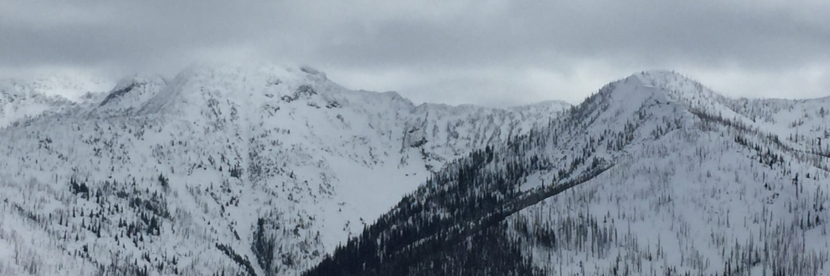
The current avalanche danger is MODERATE in the west central Montana backcountry. Human triggered avalanches are possible. Heightened avalanche conditions exist in isolated terrain. Evaluate snow and terrain carefully and identify features of concern.
Good morning, this is Travis Craft with the West Central Montana Avalanche Center’s avalanche advisory for January 26, 2016. This danger rating does not apply to operating ski areas, expires at midnight tonight and is the sole responsibility of the U.S. Forest Service.
Weather and Snowpack
Mountain temperatures range from 17 F to 27 F in the region. Winds are 11 mph with gusts of 15 mph out of the SSW in the Bitterroot and 20 mph with gusts of 24 mph out of the WNW on Point Six. Most sites report no new snow with a few picking up a couple inches of new snow overnight.
The avalanche danger is moderate and this does not mean green light conditions. We have a complex situation with our snowpack. The first problem we have is a persistent slab that is failing on an interface of preserved cold snow. This layer propagates on some aspects, but not on all. The other problem that is failing in stability tests is a near surface facet layer above a melt freeze crust. These two layers are present in our snowpack throughout the advisory area but are not reactive on every slope or aspect. Dudley found these layers in the southern Swan at the Yurtski, Steve found them in the Rattlesnake and Tim and I had similar findings in the Lolo pass area. The only way to find these layers is to dig in the snow and see if they are reactive in your pit.
The second avalanche problem are wind slabs. The wind slabs are located on leeward terrain. Over the last couple of days we have had varying wind directions. Look for gullies to be cross loaded, as well as, for the standard placement of wind slabs on ridges. These slabs are not large, but can take you by surprise (public obs).
Moderate conditions call for restraint. The problems we have are isolated and we are not getting any bullseye data. The only way to find these persistent layers is to dig a pit and see if they are reactive. We have had 11 fatalities in the West since the beginging of January, not to mention the amount of close calls. Moderate conditions mean human triggered avalanches are possible.
Weather and Avalanche Outlook
High pressure moves into the area today with warmer temperatures predicted for the mountains. We should see this high pressure be pushed out by tonight or early Wednesday by a weak disturbance which will bring light precipitation. The avalanche danger will remain the same with these conditionss.
Ski and ride safe. Logan will issue the next advisory on Thursday.


