
The avalanche danger in the west central Montana backcountry is MODERATE on north facing slopes above 6500 ft. All other slopes are Low. Evaluate snow and terrain carefully.
Good Morning. This is Travis Craft with the West Central Montana Avalanche Center advisory on Thursday, March 11, 2021. This advisory is sponsored by the Big Sky Brewing Company. This advisory does not apply to operating ski areas and expires at midnight tonight. The USDA Forest Service is solely responsible for its content.
Weather and Snowpack
Temperatures range from 8 to 16 degrees this morning. Winds will be light gusting to the teens today out of the West. It will be warm and sunny today.
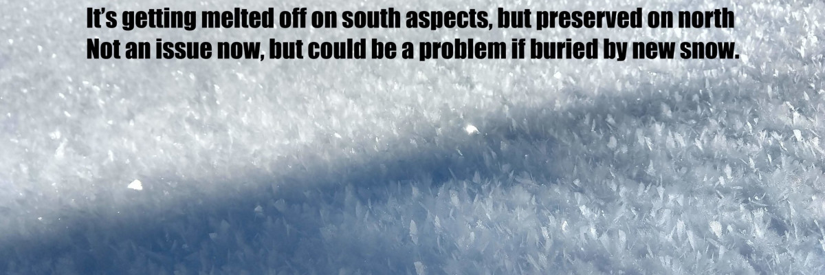
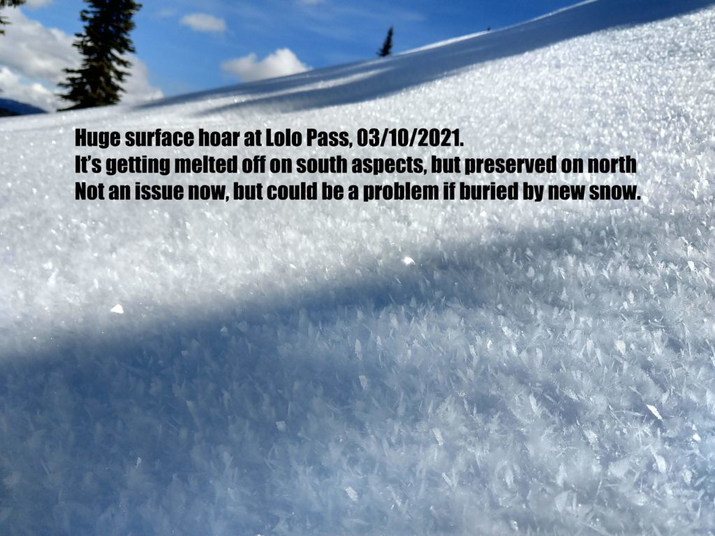
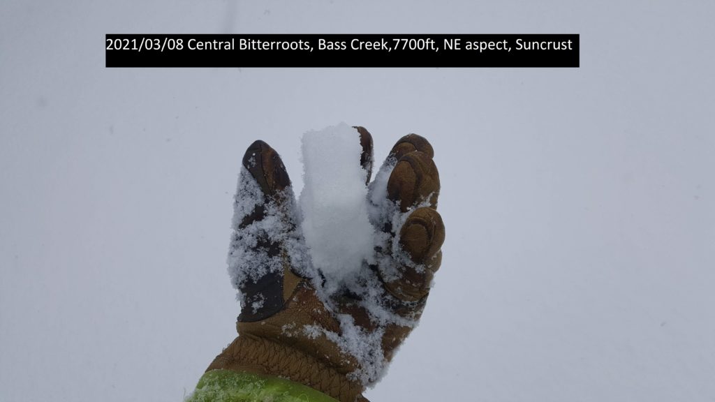
Yesterday, we found dry snow on North facing slopes throughout the advisory area. Weak snow still failed in pit tests on these slopes. On all other aspects, there is a supportable crust, and the snowpack has consolidated. The likelihood of triggering these facets is going down, but the consequences of triggering this layer are high.
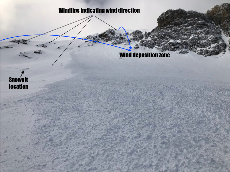
Cornices and glide cracks will be with us for the rest of the season. Cornices are sagging and should be given a wide berth. Avoid glide cracks. Take small steps into riding steeper and steeper terrain. If you feel a supportable crust, it will be less likely to trigger a persistent weak layer. On North facing slopes greater than 35 degrees above 6500 ft, it is possible to trigger a persistent weak layer.
Today with warming temperatures and light cloud cover, look for loose wet activity on sun-exposed terrain. When roller balls show up, move to shadier aspects.
Bottom Line
Choose slopes with a supportable crust to minimize the likelihood of triggering a persistent weak layer. Choose slopes less than 35 degrees if there is not a supportable crust.
Avoid traveling under large cornices and give them a wide berth on ridges. If roller balls show up, move to shadier aspects or head home. Avoid glide cracks.
Carry a beacon, shovel, and probe. Reassess conditions throughout the day and stay alert for signs of instability. Dig pits. Look for red flags.
Remember: the danger rating and avalanche forecast are meant to give you baseline information to use in your travels, but YOU get to make the decision whether riding or skiing specific terrain is a good idea or not.
Upcoming Education Events
Please visit our education page for an up-to-date list of regional educational events and course offerings. Below are a few select events and opportunities to check out.
- March 17th, 6-7:30 PM MST | FREE Online Avalanche Awareness Session | Missoulaavalanche.org event | Delivered by A3 Pro instructors | Get more details and register HERE
- March 20th | Avalanche Rescue Course | Provided by A3 Pro instructors | Get more details and register HERE
Public Observations
Thank you to everyone who has taken the time to send in a public observation. Please keep sharing what you find and see while out in the backcountry. This online forum is a great resource to glean information about current conditions.
You can now text us your observations to (406) 219-5566 when you don’t have time to fill out the observations page. Texted observations won’t get posted on the website, but will be used in the development of the forecast.
Ski and ride safe.


