
The current avalanche danger is Considerable in southern Swan, southern Missions, and Bitterroot ranges on steep(>35 Degrees) wind loaded slopes above 7500 ft. On all other slopes and in the Rattlesnake the danger is moderate.
Careful snowpack evaluation, cautious route-finding and conservative decision making are essential for travel in avalanche terrain today in the southern Swan, southern Missions and Bitterroot ranges above 7500 ft.
Good morning, this is Travis Craft with the West Central Montana Avalanche Center’s avalanche advisory for February 16, 2016. This danger rating does not apply to operating ski areas, expires at midnight tonight and is the sole responsibility of the U.S. Forest Service.
Weather and Snowpack
Mountain temperatures are 32 F and above at most mountain locations. Winds are 14 mph with gusts of 28 mph out of the SW. Most sites have recored 1 to 4 inches of new snow overnight.
The Northern ranges and the Bitterroot range both picked up over an 1.5 inches of SWE in the last storm cycle. Yurtski in the southern Swan reported over a 1.5 feet of snow in the last 24 hours that was heavy and wet with strong winds. The snow level in the advisory area is 6500 ft. The new heavy load of snow with strong winds has created considerable avalanche danger on steep(>35 degrees) leeward slopes at elevations 7500 ft and above in all of the advisory area except the Rattlesnake. These wind slabs are the primary concern today.
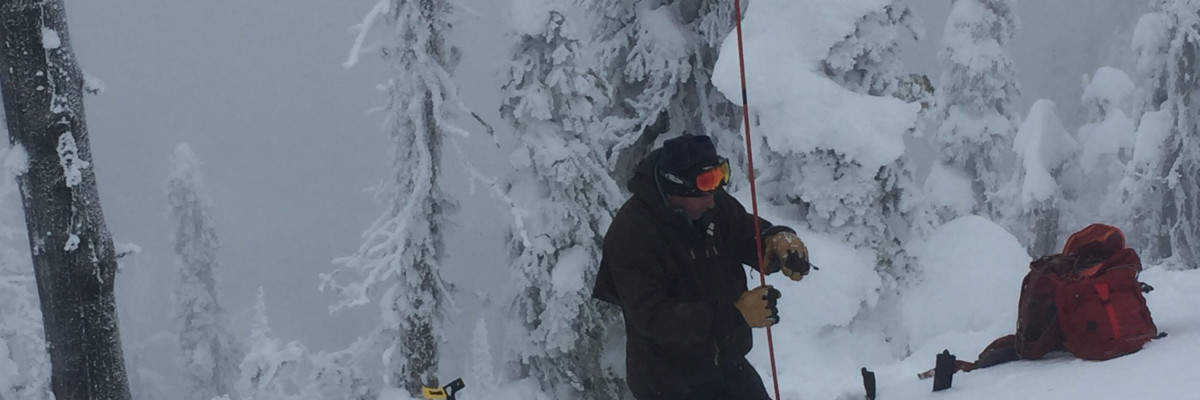
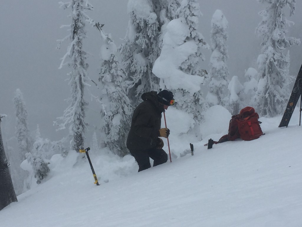
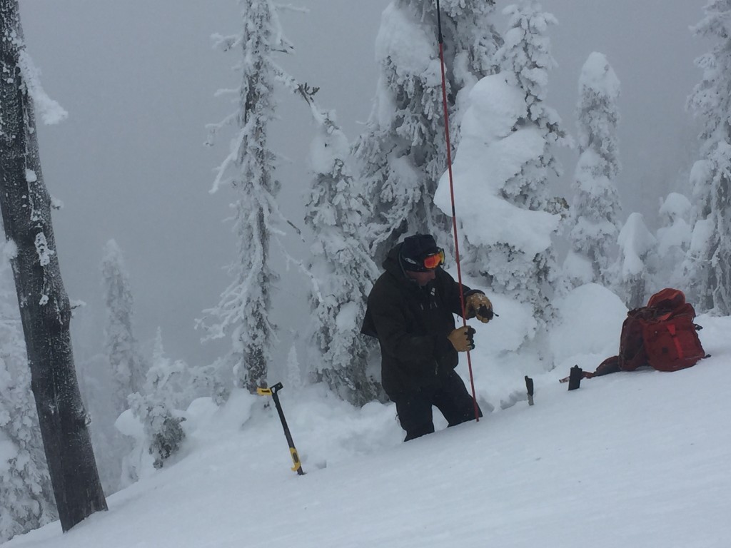
The second avalanche problem is a persistent slab. The new snow is sitting on a melt freeze crust which has facets below this crust which are failing with Q1 shears in compression tests. Steve and I found a layer of small grained graupel sitting on top of this melt freeze crust that was failing in compression tests in the Rattlesnake. There are some old facet layers deeper in the snowpack which could be reactive to this new heavy load. The only way to find these layers is to dig a pit.
The snowpack is quite diverse right now. The southern Swans, southern Missions and Bitterroot have received more snow and SWE. The Rattlesnake has not received the new load of SWE. The avalanche advisory is a general report of avalanche hazards you will see recreating in the advisory area. The avalanche advisory is a starting point for what problems to look for when choosing to recreate in avalanche terrain. The area we cover is very large and the backcountry is very dynamic, conditions can change rapidly. In the end you must evaluate the slope yourself in the backcountry. There may be localized problems on that slope which were not identified in the advisory that you need to assess.
Weather and Avalanche Outlook
Some light showers are expected today with strong ridgetop winds in the 30’s. Expect the the avalanche danger to stay the same today.
Ski and ride safe. Logan will issue the next advisory on Thursday.


