Posted:
Dec 9, 2016 @ 7:59 am

Good morning, this is Travis Craft with an early season snowpack and avalanche update.

Weather and Snowpack

Mountain temperatures are 8 F to 24 F this morning.  Winds are 15 mph with gusts of 22 mph out of the WSW in the northern part of the advisory area and 6 mph with gusts of 9 mph out of the WSW in the south. Snotels are reporting 2 to 3 new inches of snow in the last 24 hours.

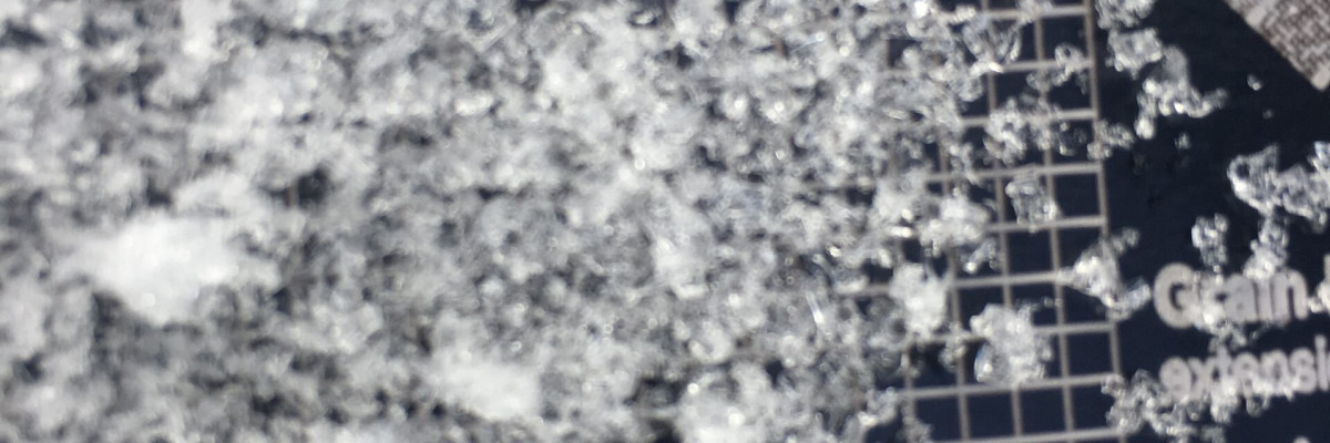
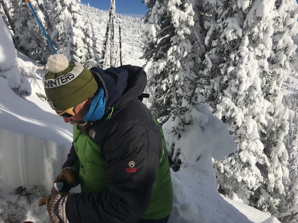
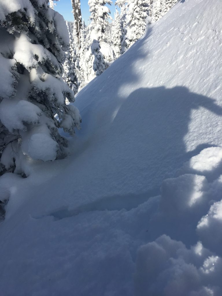
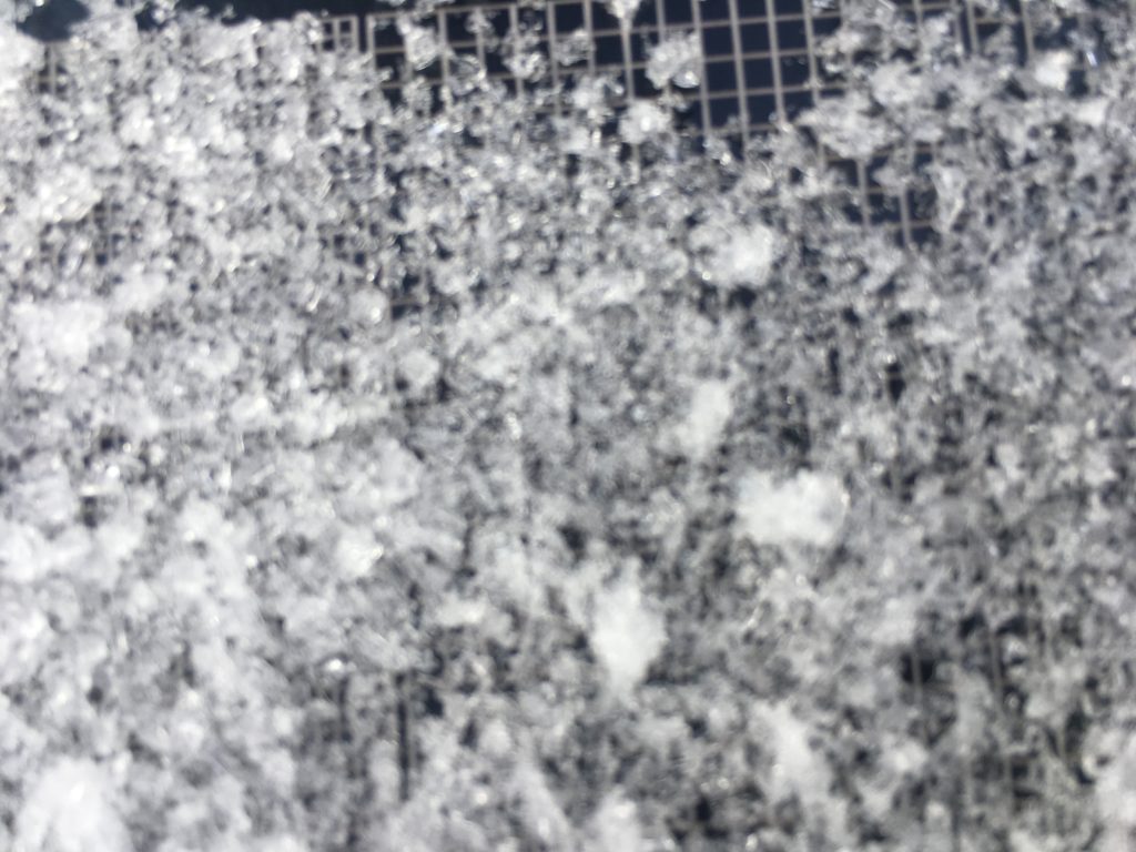
Over the last over the last 4 days we have had very cold temperatures which have created some layers of concern in our shallow snowpack.  Yesterday, Josh and I toured in the Rattlesnake where we observed shooting cracks from our skis and had localized collapsing.  We observed surface hoar growth from the cold, clear nights on many aspects.  We were able to get propagation in our pit tests.  In one of our tests,  the column propagated and failed during isolation on the basal facets on the ground.  We have a layer of facets in the middle of our snowpack that we were able to get failures on in compression tests. (video)

With the new snow and predicted snow for this weekend these layers will become more reactive with the additional weight on the snowpack.  If you are out recreating this weekend pay close attention to any signs of instability: Shooting cracks, recent avalanche activity, collapse noises, and whumfing.  The structure of our shallow snowpack with a layer of basal facets makes me very wary of committing to any steep terrain with the addition of any new weight.  I would dig a pit to assess the new snow and how reactive these layers are ( buried surface hoar, facets and basal facets). There is new snow and winds capable of transport which means that there are small wind slabs to be aware of.

Avalanche and Weather Outlook

Over the weekend localized banding is predicted to happen in the mountains throughout the weekend bringing snow to the region.  With the addition of new loading the weak layers in our snowpack will be tested increasing the avalanche danger.

We have many upcoming events check our education page for listings.  Also if you are out recreating in the backcountry,  please send us your observations these are very helpful in producing the advisory.

Ski and ride safe.


READ FULL ADVISORY  

Problem 1 - Persistent Slab

  • TYPE

    persistent-slabs

    Persistent Slabs

    Release of a cohesive layer of soft to hard snow (a slab) in the middle to upper snowpack, when the bond to an underlying persistent weak layer breaks.  Persistent layers include: surface hoar, depth hoar, near-surface facets, or faceted snow. Persistent weak layers can continue to produce avalanches for days, weeks or even months, making them especially dangerous and tricky. As additional snow and wind events build a thicker slab on top of the persistent weak layer, this avalanche problem may develop into a Persistent, Deep-Slab.

  • SIZE

    4-5

    2 (Large)

    The potential size of avalanche resulting from this problem.

  • LIKELIHOOD

    Likelihood-5

    Likely

    The likelihood of an avalanche resulting from this problem.

Poor snow structure. Basal Facets, Facets, and Buried Surface Hoar.  These layers are reactive and with additional loading will become more reactive.

Problem 2 - Wind Slabs

  • TYPE

    wind-slabs

    Wind Slabs

    Release of a cohesive layer of snow (a slab) formed by the wind.  Wind typically erodes snow from the upwind sides of terrain features and deposits snow on the downwind side.  Wind slabs are often smooth and rounded and sometimes sound hollow, and can range from soft to hard. Wind slabs that form over a persistent weak layer (surface hoar, depth hoar, or near-surface facets) may be termed Persistent Slabs or may develop into Persistent Slabs.

  • SIZE

    2-3

    1 (Small)

    The potential size of avalanche resulting from this problem.

  • LIKELIHOOD

    Likelihood-3

    Possible

    The likelihood of an avalanche resulting from this problem.

Wind with new snow will create wind slabs on leeward terrain.

VIDEO

Early Season Update

Poor structure in shallow snowpack.

FORECAST & OUTLOOK

  • Danger Trend

    increasing

    Increasing Danger

  • Area Forecast

    New Loading

More snow through the weekend.

This information is the sole responsibility of the Forest Service and does not apply to operating ski areas. The avalanche danger rating expires at midnight tonight but the information can help you make a more informed decision regarding travel in avalanche terrain for the next few days.

Our advisory area includes National Forest System lands in the Bitterroot Mountains from Lost Trail Pass north to Granite Pass, the Rattlesnake Mountains north of Missoula and the Southern Swan and Mission Mountains near Seeley Lake, MT. Avalanche information for the Lookout Pass/St. Regis Basin area is available from the Idaho Panhandle Avalanche Center.