
For the Southern Missions and Southern Swan ranges the avalanche danger is considerable. Human triggered avalanches are likely and natural avalanches are possible. For the Bitterroot and Rattlesnake mountains, the avalanche danger is Moderate. Human triggered avalanches are possible with small avalanches in specific terrain and larger avalanches in isolated locations.
Good morning, this is Logan King with the West Central Montana Avalanche Center’s avalanche advisory for Sunday, February 17th, 2019. Today’s advisory is sponsored by Yurtski. This danger rating does not apply to operating ski areas, expires at midnight tonight and is the sole responsibility of the U.S. Forest Service.
Weather and Snowpack
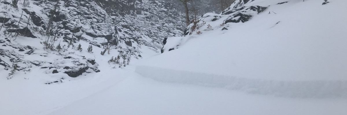
The Southern Missions and Southern Swan ranges have received up to 8 inches of new snow since yesterday morning. Temperatures began dropping early this morning as a cold front is working its way across the region. Increasing easterly flow overnight from the frontal passage is further complicating issues in the area. Natural storm slab activity was reported yesterday afternoon outside of Seeley and faceted snow was easily failing under the new load in the southern Swan range (public observation). With increasing winds, wind drifted snow will continue to be a developing problem as the day progresses.
For the Rattlesnake and Bitterroot mountains, the likelihood of avalanches is lower. Temperatures are beginning to drop and easterly winds are increasing. Only 1-3 inches of new snow was seen for this portion of the advisory area. The primary avalanche concerns are wind slabs. Most wind slabs are still small and soft with the potential for larger wind slabs in isolated terrain, all of which will be growing today with strong Easterly flow. We received a report of skier triggered wind slabs in the central Bitterroot yesterday. In the southern Bitterroot, there are a few persistent weak layers that are gaining strength but still require cautious evaluation to determine if they are present and reactive as do some of the crust layers found throughout the region.
Big Picture: There is a significant amount of variability in the current avalanche conditions across our advisory area. Depending on where you travel today different concerns will be more prevalent than others. This means that you need to constantly evaluate conditions as they change across terrain, time, and space. Remember that the avalanche forecast condenses a lot of information and applies it to a broad area, but the final decision on what the hazard is for a single locale falls on your shoulders. The advisory is a great tool to help inform your decisions but when it comes to the end of the day it is ultimately up to you to determine what hazards are present and how reactive they are.
Avalanche and Weather Outlook
Temperatures will continue to fall and the forecast suggests strong wind and cold temperatures to be the dominant feature for the beginning of the week. Storm slab problems will begin settling but wind slab avalanche potential will be on the rise. Expect some hazards to be increasing while others decrease.
We received a bunch of public observations yesterday which is incredibly helpful to us as forecasters and the community as a whole. So thank you and keep them coming.
Ski and ride safe.


