Posted:
Jan 30, 2020 @ 7:07 am

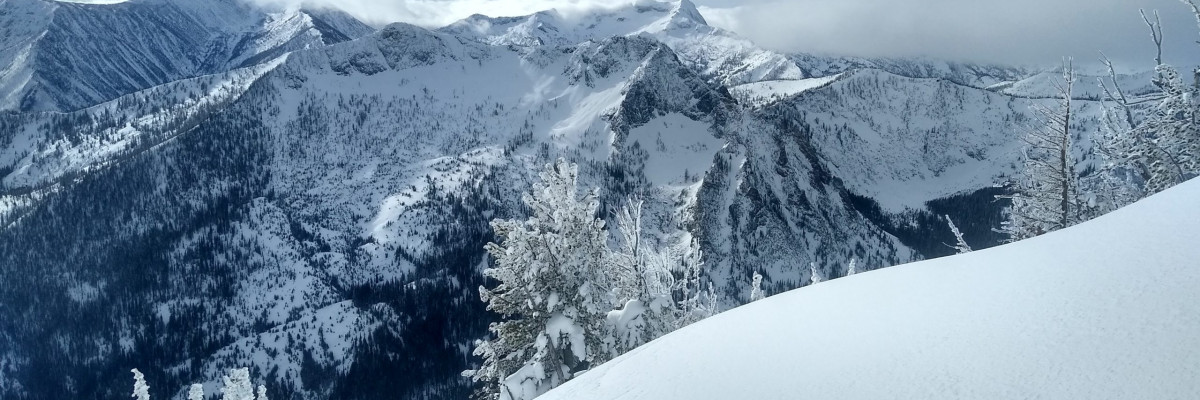
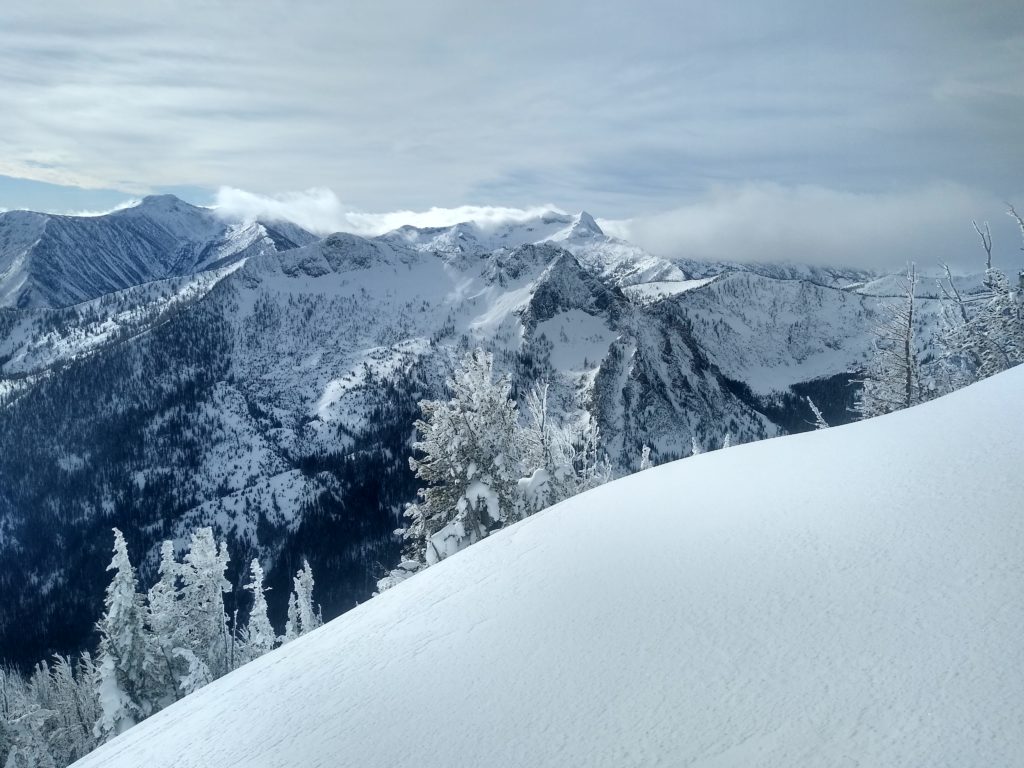
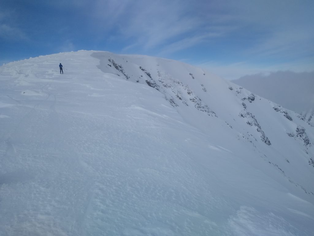
The avalanche danger for the West Central Montana backcountry is MODERATE. Approach avalanche terrain with caution as triggering a large avalanche is possible.

Good morning, this is Todd Glew with the West Central Montana Avalanche Center’s avalanche advisory for January 30, 2020. This danger rating does not apply to operating ski areas, expires at midnight tonight, and is the sole responsibility of the U.S. Forest Service.

Weather and Snowpack

Mountain temperatures are currently in the upper teens to mid 20’s F. Winds picked up late yesterday and overnight and are gusting up to 50 mph on ridgetops, with wind chills currently below 0ºF. Overnight we picked up .2 inches of SWE in favored locations or up to 4 inches of snow. 

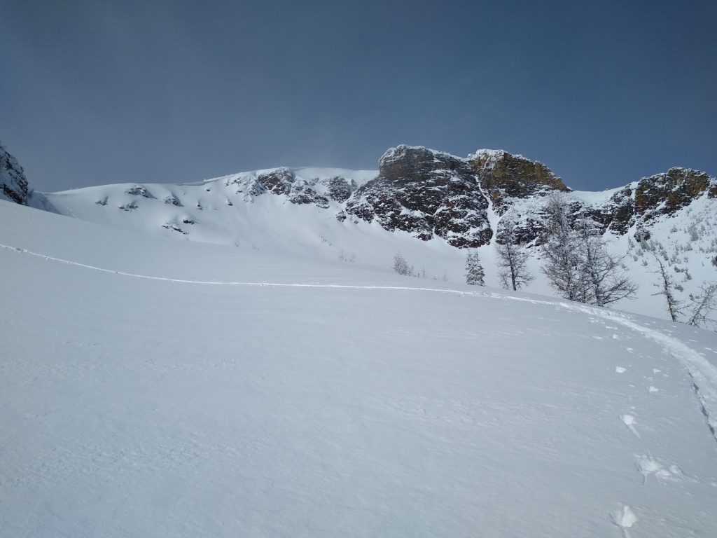
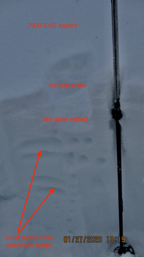
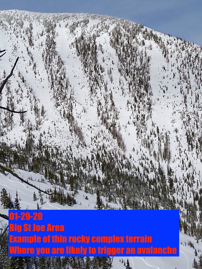
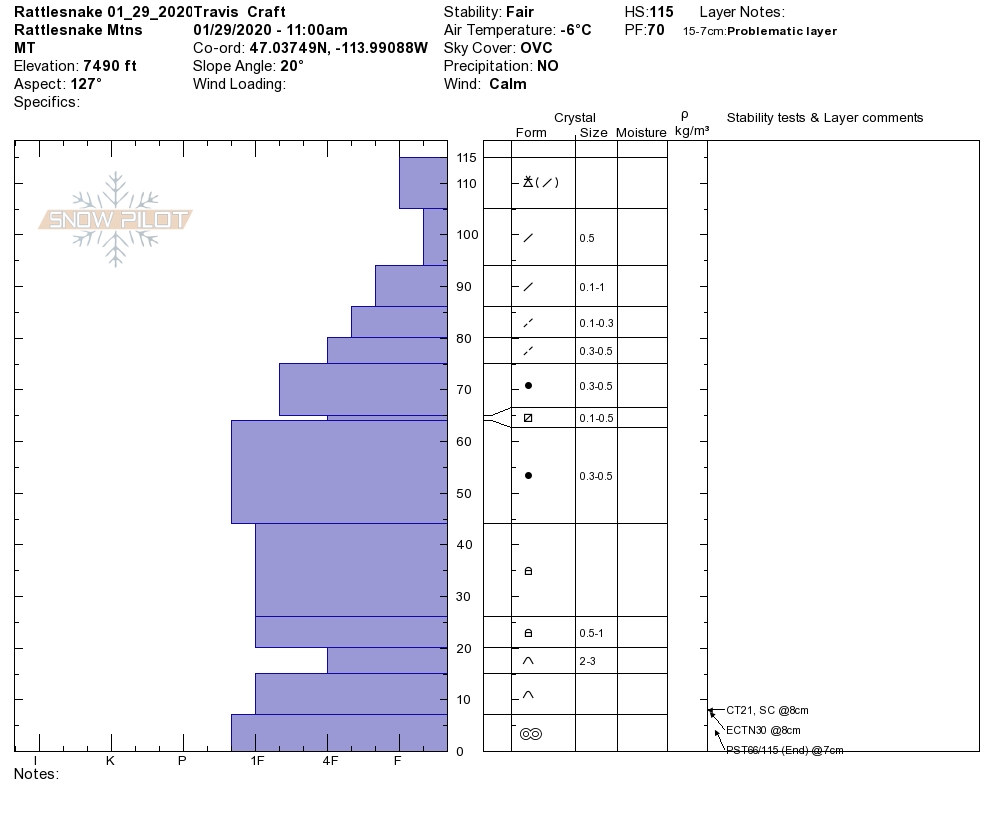
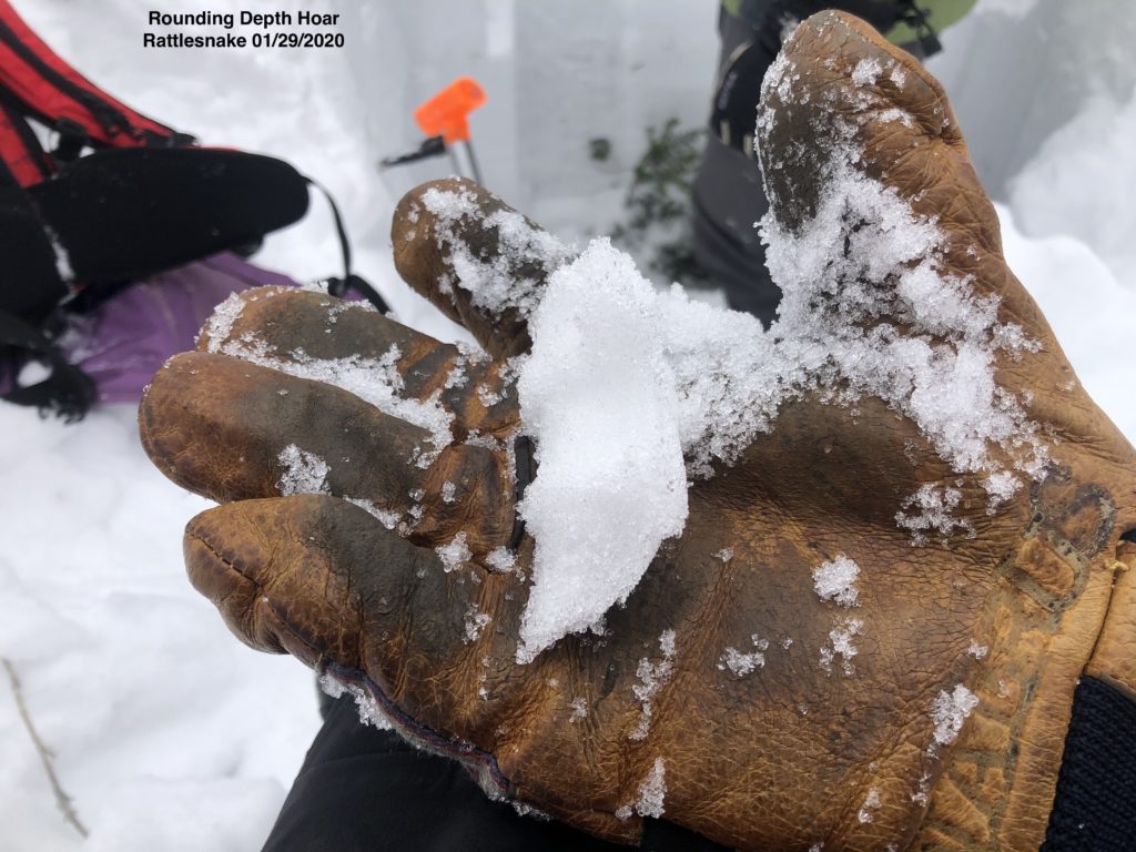
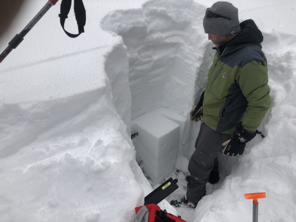
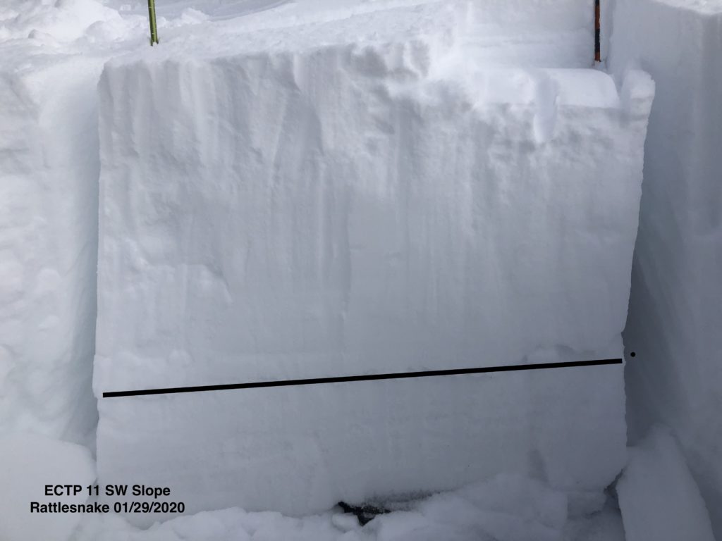
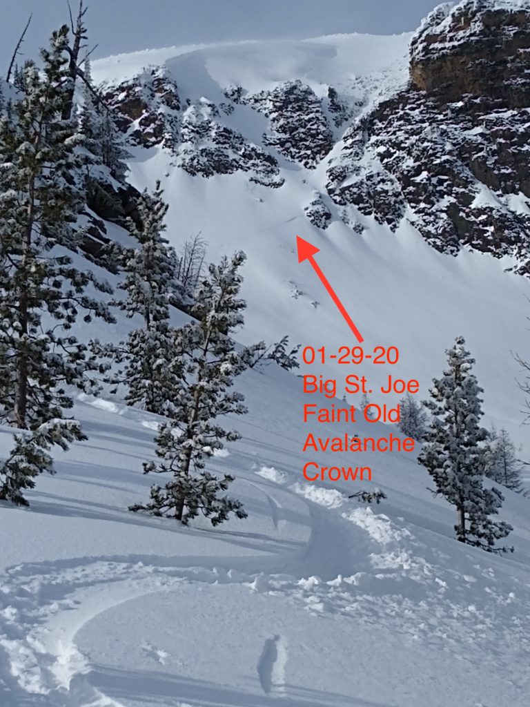
Our primary concern is persistent slab avalanches. While this problem is becoming less of a concern, it is still ever-present. Snowpit results in thin areas (3 to 5 feet or less in depth) are still showing signs of propagation, failing near the ground on depth hoar and facets. Deeper areas (5 or more feet deep in depth) are not propagating. What this means is you are less likely to trigger an avalanche in terrain with a deep snowpack. The catch is that there are thin trigger points, buried just below the surface of the snow in deeper areas. If you decide to ski or ride in avalanche terrain you need to do your homework. Avoid likely trigger points, such as thin rocky areas, around cliff bands, in shallow snowpack areas, and on or near convexities in terrain 35 degrees or steeper. You need to dig pits and walk around with a probe poking for snow depths.

Our secondary concern is wind slab avalanches. With the recent increase of winds and easily transportable snow, wind drifts will be sensitive today. Wind drifts are easily identified by looking for bulbous or pillowy like features near ridgetops and on cross-loaded features. 

Bottom line: Some years, it is safe to ski and ride many slopes, but this is not the year. Our main concern is weak faceted snow buried near the ground, which, if triggered, could take out the entire seasons snowpack. Don’t let the sunny skies today lure you into being complacent and making bad decisions.  

Side note: On 01-28-2020, just outside our forecast area in the Flint Creek Range there was a 3-4 feet deep and 700 foot wide remotely triggered avalanche. The slide was on an east facing aspect at about 8000 feet in elevation which failed on basal facets below a crust at the ground. The snowpack in the Flint Creek Range is very similar to the snowpack in our forecast area.

Avalanche and Weather Outlook

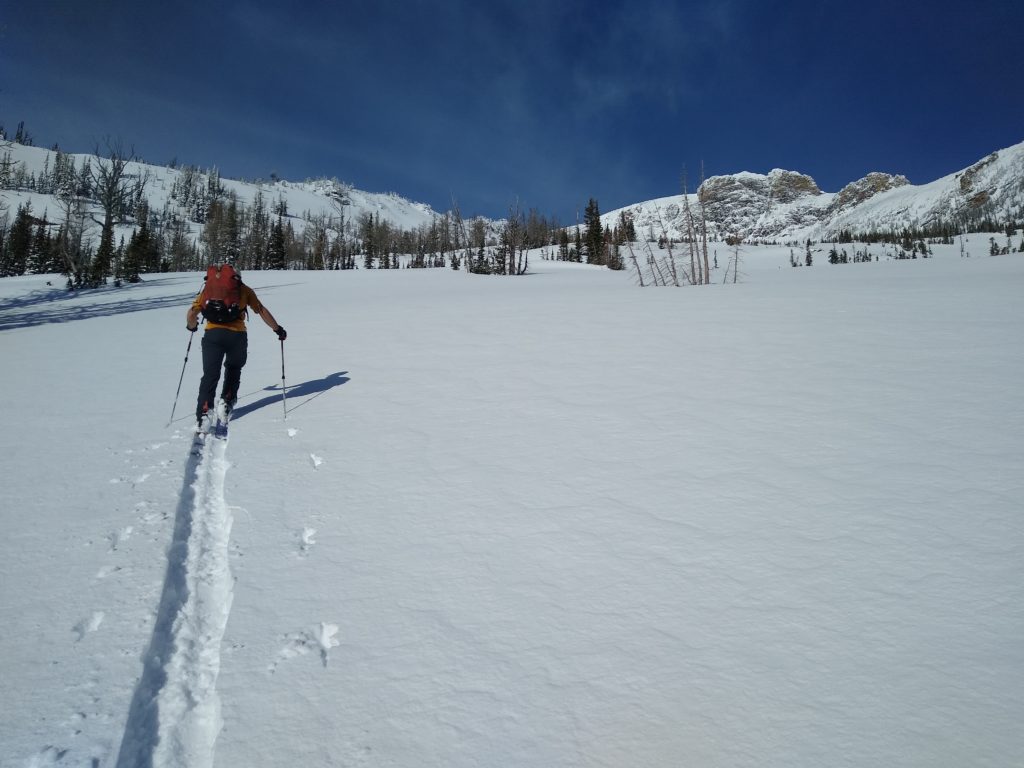
Today will be a beautiful sunny day with mountain temperatures in the mid 20’s to high 30’s. Winds will be out of the WSW, averaging 10-14 MPH with gusts up to 31mph. Our nice sunny day is going to be short-lived, with a warm and windy storm moving in this evening, dropping a few inches of dense snow by Friday afternoon.

Expect the avalanche danger to rise later this week with warming temperatures and the chance of new snow and rain up to 6000 feet. If you are in the mountains and it is raining, its a good clue to head home because rain and snow do not mix well in regards to avalanches.

Any observations are appreciated. If you get out in the mountains, please send us your observations here. Thank you very much to those of you who have been sending in observations, as it is incredibly beneficial.

Ski and ride safe.

 Education Opportunities:

Want to learn more about avalanches? We still have spaces available on Avalanche Courses throughout the winter. Take a look here for a full list of courses.

READ FULL ADVISORY  

Problem 1 - Persistent Slabs

  • TYPE

    persistent-slabs

    Persistent Slabs

    Release of a cohesive layer of soft to hard snow (a slab) in the middle to upper snowpack, when the bond to an underlying persistent weak layer breaks.  Persistent layers include: surface hoar, depth hoar, near-surface facets, or faceted snow. Persistent weak layers can continue to produce avalanches for days, weeks or even months, making them especially dangerous and tricky. As additional snow and wind events build a thicker slab on top of the persistent weak layer, this avalanche problem may develop into a Persistent, Deep-Slab.

  • SIZE

    5-6

    2-3 (Large)

    The potential size of avalanche resulting from this problem.

  • LIKELIHOOD

    Likelihood-2

    Unlikely/Possible

    The likelihood of an avalanche resulting from this problem.

  • ADDED DANGER

    Increased Slope Danger

    Increased/Added Danger

    There is an increased risk of avalanches on these slopes:

    N - North
    NE - Northeast
    E - East
    SE - Southeast
    S - South
    SW - Southwest
    W - West
    NW - Northwest

The chances of triggering a persistent slab are decreasing, but the consequences are not. Snowpit test results are still showing signs of propagation in thinner areas (Video ECTP11). Cracking and collapsing near ridge tops were noticed yesterday, showing the propensity for avalanches. We dug a snowpit near a large collapse with shooting cracks and noticed that the snow was failing on preserved facets and depth hoar close to the ground. Where we dug had 3-4 feet of snow, with 6-12 inches of facets and depth near the ground. Stick to slopes below 35 degrees and stay well away from steep and complex terrain, which would be a likely place to trigger this type of avalanche.

Problem 2 - Wind Drifted Snow

  • TYPE

    wind-slabs

    Wind Slabs

    Release of a cohesive layer of snow (a slab) formed by the wind.  Wind typically erodes snow from the upwind sides of terrain features and deposits snow on the downwind side.  Wind slabs are often smooth and rounded and sometimes sound hollow, and can range from soft to hard. Wind slabs that form over a persistent weak layer (surface hoar, depth hoar, or near-surface facets) may be termed Persistent Slabs or may develop into Persistent Slabs.

  • SIZE

    3-4

    1-2 (Small-Large)

    The potential size of avalanche resulting from this problem.

  • LIKELIHOOD

    Likelihood-3

    Possible

    The likelihood of an avalanche resulting from this problem.

A storm moved through last night dropped a few inches of snow accompanied by wind. At upper elevations, there is a decent amount of snow that is easily transportable. Be on the lookout for fresh wind slabs, which look bulbous and pillowy. The wind drifted snow will mostly found near ridges or in cross-loaded terrain.

Problem 3 - Loose Wet

  • TYPE

    loose-wet

    Loose Wet

    Release of wet unconsolidated snow or slush. These avalanches typically occur within layers of wet snow near the surface of the snowpack, but they may quickly gouge into lower snowpack layers. Like Loose-Dry Avalanches,they start at a point and entrain snow as they move downhill, forming a fan-shaped avalanche. They generally move slowly, but can contain enough mass to cause significant damage to trees, cars or buildings. Other names for loose-wet avalanches include point-release avalanches or sluffs. Loose-wet avalanches can trigger slab avalanches that break into deeper snow layers.

  • SIZE

    3-4

    1-2 (Small-Large)

    The potential size of avalanche resulting from this problem.

  • LIKELIHOOD

    Likelihood-3

    Possible

    The likelihood of an avalanche resulting from this problem.

With mostly clear skies today be on the lookout for signs of wet activity. Roller balls, pinwheels, and damp snow that you can easily make a snowball with are signs that the snow is being warmed by the sun. Likely areas where this is a concern is on solar aspects at elevations below about 7000 feet. If you notice wet activity move to non solar aspects or quickly head back down the slope you are on.

VIDEO

FORECAST & OUTLOOK

Today will be mostly sunny with gusty winds out of the WSW.

This information is the sole responsibility of the Forest Service and does not apply to operating ski areas. The avalanche danger rating expires at midnight tonight but the information can help you make a more informed decision regarding travel in avalanche terrain for the next few days.

Our advisory area includes National Forest System lands in the Bitterroot Mountains from Lost Trail Pass north to Granite Pass, the Rattlesnake Mountains north of Missoula and the Southern Swan and Mission Mountains near Seeley Lake, MT. Avalanche information for the Lookout Pass/St. Regis Basin area is available from the Idaho Panhandle Avalanche Center.