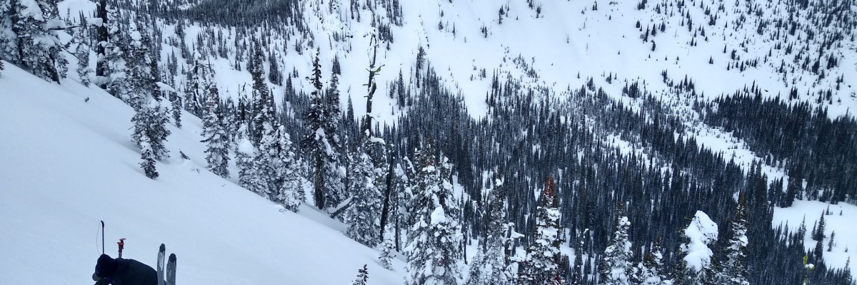

The avalanche danger for the west central Montana backcountry is considerable on wind loaded slopes and moderate on all other slopes. New snow and wind have created dangerous avalanche conditions on leeward slopes. It is likely to trigger a avalanche on wind loaded slopes today.
Good morning, this is Travis Craft with the West Central Montana Avalanche Center’s avalanche advisory for February 06, 2020. Today’s advisory is sponsored by ON X Maps. This danger rating does not apply to operating ski areas, expires at midnight tonight, and is the sole responsibility of the U.S. Forest Service.
Weather and Snowpack
Mountain temperatures range from 21 F to 30 F in the region. In the Bitterroot, winds are 16 mph with gusts of 21 out of the WNW. In the northern part of the advisory area, winds are 32 mph and gusting 41 mph out of the WNW. Snotels are reporting between .8 and .9 inches of SWE for the last 24 hours for 6 to 10 inches of new snow.
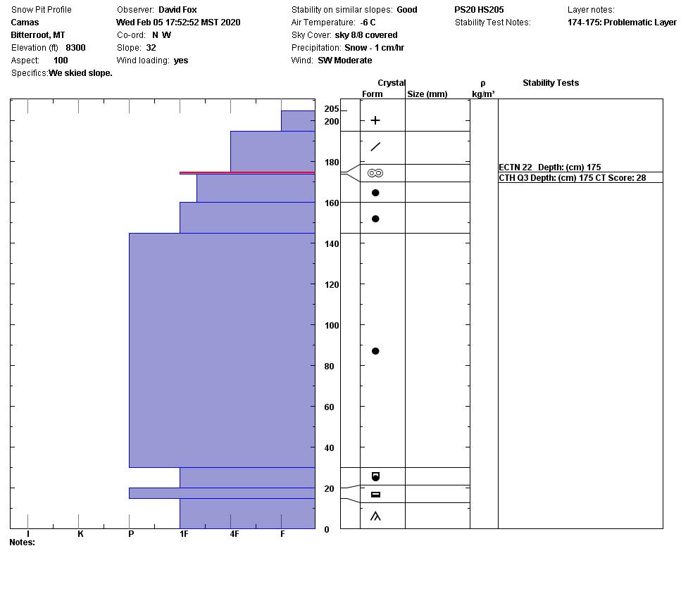
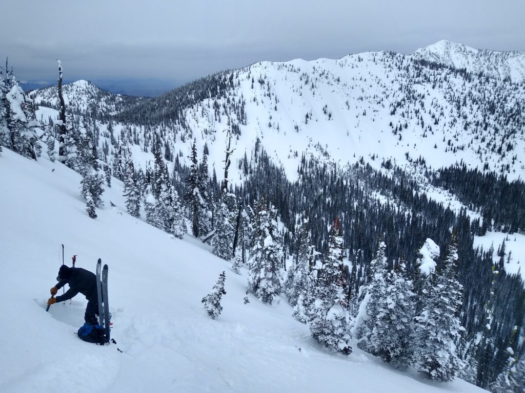
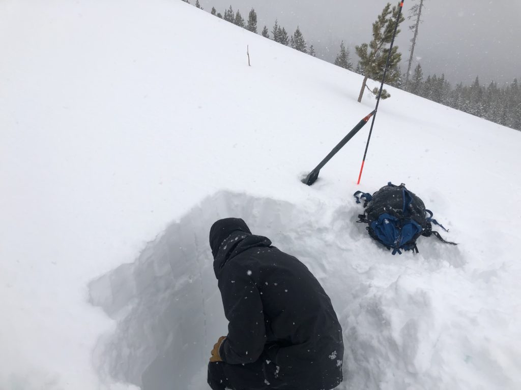
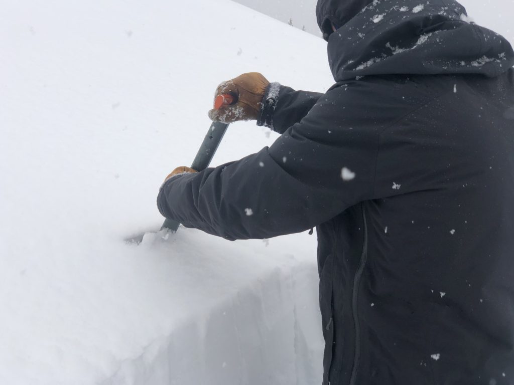
New snow and wind slabs are the two avalanche problems for today. The new snow is bonding well to the old snow surfaces. There is a crust that was buried on 02/02/2020 from the warm temperatures over the weekend.(see video) Winds have transported the new snow to leeward slopes. The depth hoar near the base of the snowpack is healing. We have not had a report of this layer avalanching in over 2 weeks. The depth hoar is unreactive in pit tests. We are taking persistent slabs off the avalanche problems today.
The primary avalanche problem is new snow. The new snow is bonding well to the old snow surfaces. Look for loose snow avalanches on steep slopes(>35 degrees). These should not be a problem unless they knock you off your machine or skis and carry you into a terrain trap. Look for storm slabs with continuing loading of new snow throughout the day. Use small test slopes to see how the new snow is bonding. Use hand pits and pole tests to assess the new snow. Look for cracks from your skis or machine to identify storm slabs.
The second avalanche concern is wind slabs. Yesterday throughout the advisory area, active transport of new snow created wind slabs. These slabs will be sensitive to human triggers today. Look for small to large wind slabs at higher elevations on leeward slopes. Identify this terrain. Watch for blowing snow and rounded, textured, drifts. Shooting cracks are a sign of unstable wind slabs.
Bottom line: Pay attention to changing weather conditions today. Look for red flags: recent avalanches, shooting cracks, collapsing, rapid loading, and warming temperatures. Dig a pit. Use small test slopes to see how the new snow is bonding. Carry a beacon, shovel, and probe. Practice safe travel by exposing only one person to a slope at a time.
Avalanche and Weather Outlook
Snow and moderate to strong winds are forecasted for today. See the forecast. Look for more snow and winds to elevate the avalanche danger.
Any observations are appreciated. If you get out in the mountains, please send us your observations here. Thank you very much to those of you who have been sending in observations, as it is incredibly beneficial.
Ski and ride safe.
Education Opportunities:
Want to learn more about avalanches? We still have spaces available on Avalanche Courses throughout the winter. Take a look here for a full list of courses.


