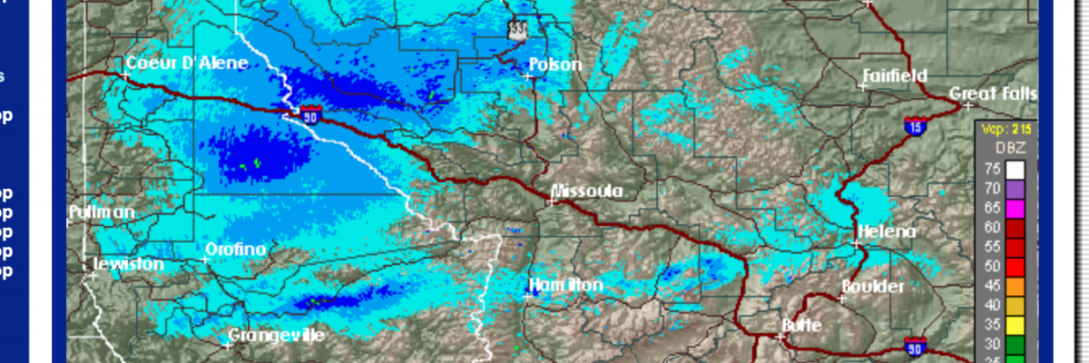
This is Travis Craft with an early season snowpack update on Friday, October 23, 2020.
Winter is claiming the high country and creeping to the valley floor. The weather predicted for this weekend should put avalanche safety at the front of plans for recreating outside in the mountains. Strong winds and significant snow accumulations will increase the avalanche danger.
In the past, there have been several early season close calls and fatalities in Montana involving hunters, climbers, and skiers. Hunters and Climbers: Please keep avalanche safety on your mind as you travel across steep, open terrain. Consider traveling with a partner and carrying rescue equipment. Skiers and Riders: If there is enough snow to ride, there is enough snow to slide!
Avalanche preparedness starts now, and even though it is early in the season, you need to stay aware of the potential for avalanches. Early season snowfall creates hazards on avalanche terrain at upper elevations. This tends to be concentrated on wind loaded terrain where more snow will be found. Keep in mind that there are increased consequences this time of year due to exposed rocks, cliffs, and stumps that raise trauma potential. Keep an eye on the weather as early season snowfall may lead to avalanche problems that persist for the entire season. Now is the time to start watching the weather and observing how the terrain begins to fill in.
If you see any of these clues signaling dangerous snow conditions, avoid being on or under open slopes steeper than 30 degrees:
-
- Recent avalanche activity
- Cracking or collapsing snowpack
- Heavy snowfall
- High winds
- Rapid increase in temperature
Please remember to check the NOAA Backcountry Forecast and share your observations on our public observation page if you head into the backcountry.
If you spend time in the mountains during the winter, chances are you will encounter avalanche terrain. Understanding terrain, weather, and snowpack will help you make good decisions and return home safely. To assist you, we offer a wide range of educational opportunities for all backcountry user groups. To view upcoming events and register for winter course offerings, please visit the education page.
The West Central Montana Avalanche Center (WCMAC) will update the advisory as the weather dictates and plans to begin issuing regular avalanche advisories with a danger rating in December.
Ski and ride safe.


