
This is Jeff Carty with an early season snowpack update on Tuesday, November 24th, 2020.
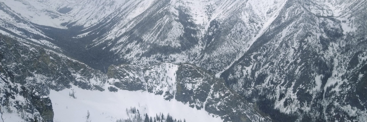
As everyone who has been out skiing and riding knows, there is an above-average snowpack above 7000’. In contrast to last year, the snow arrived early, built good depth, and has consolidated well.
This is a good foundation to build on for the winter, and we will most likely avoid the faceting issues we saw last year. Windslab is the main issue currently, especially on higher elevation slopes over 35º. With moderate to strong winds forecasted throughout the week and some fresh snow in the forecast, expect these wind slabs to get touchier and more destructive.
Keep in mind that this time of year, the areas that are best to ride are the most likely to slide. As we look for slopes with enough snow to cover rocks and early season hazards, we often gravitate to wind loaded areas. Be aware of stiff, hollow sounding snow, fat pillows, and shooting cracks. Check your slope angles and stick to slopes under 35º if in doubt.
Below 7000’, snow depths diminish rapidly, and early season hazards are abundant. Below 6000’, there is minimal to no snowpack. The main hazard here is trees, rocks, or whatever is lurking just below the surface. Take care! There has already been a death this year in Alberta due to shallow snow, rocks, and a head injury.
This year could be an interesting one with COVID-19. Backcountry use spiked last spring, numbers seem to be up this early season, and backcountry gear sales are skyrocketing. We expect to see more people in the backcountry. While there is enough space in the backcountry for all of us, this could put extra pressure on roadheads where parking is often limited already. Please be respectful of others and private landowners.
Increased numbers in the backcountry mean an increased likelihood of accidents, and COVID-19 means higher risk to rescuers and everyone involved. Now is a good time to dial back our risk tolerance and provide larger margins of error to keep everyone safe.
If you are new to the backcountry, please get the training required to be safe and avoid avalanches. If you are a seasoned backcountry traveler, remember that techniques change with new research, and our skills can get rusty over time. It’s wise to update and practice yearly. Check out our education page for information on the courses we offer.
We need your observations! Please submit them on our public observation page. Everything you send in helps us assess conditions throughout the forecast area. A picture speaks a thousand words.
Lastly, look for regular advisories to begin on December 1st, 2020.
Ski and ride safe.


