
The Avalanche warning is terminated this morning.
The avalanche danger in the west central Montana backcountry is High on leeward slopes and considerable on all other slopes.
Good morning; this is Travis Craft with the West Central Montana Avalanche Center’s avalanche advisory for December 22, 2020. This advisory does not apply to operating ski areas, expires at midnight tonight, and is the sole responsibility of the U.S. Forest Service.
Weather and Snowpack
Temperatures are dropping this morning as a cold front pushes into the area. Temperatures currently range from 22 to 31 degrees F.
Winds were gusty overnight, with peak gusts of 79 mph registering on Mount Sentinel. Winds on ridge tops will continue today with speeds ranging from 20 to 35 mph.
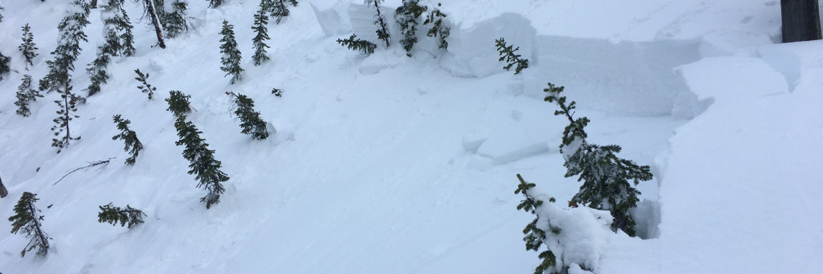
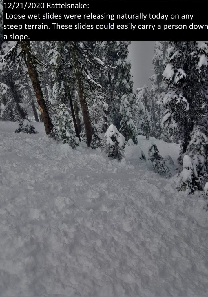
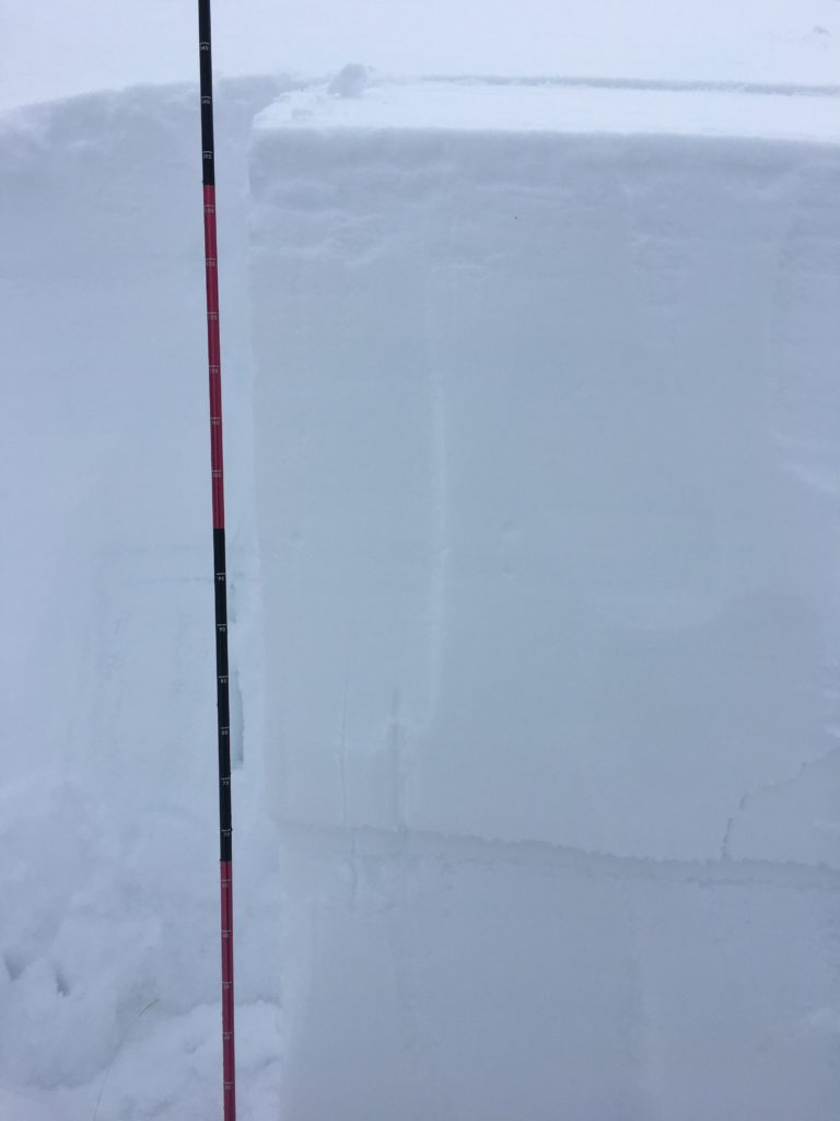
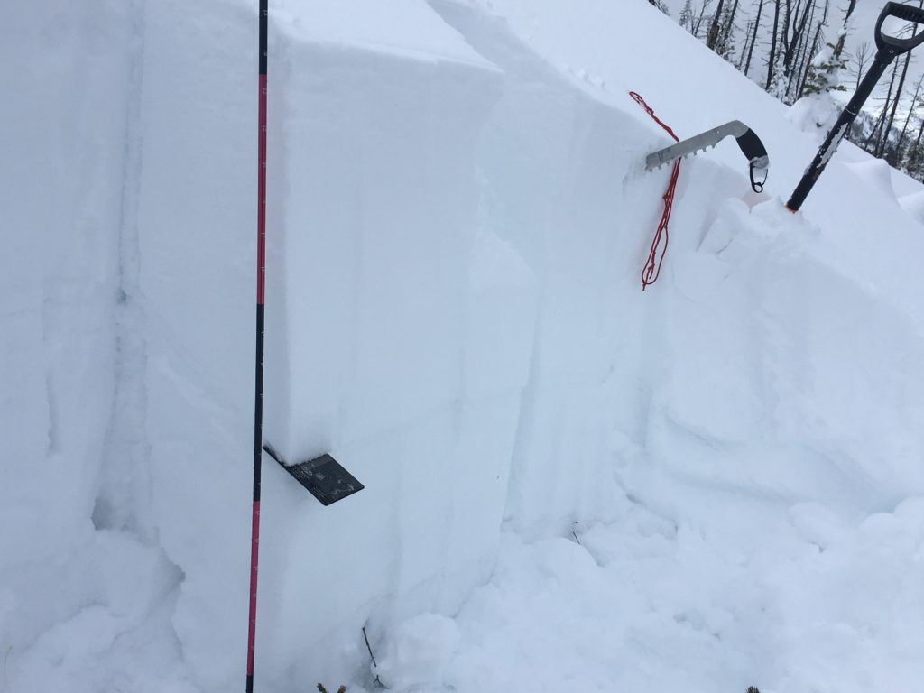
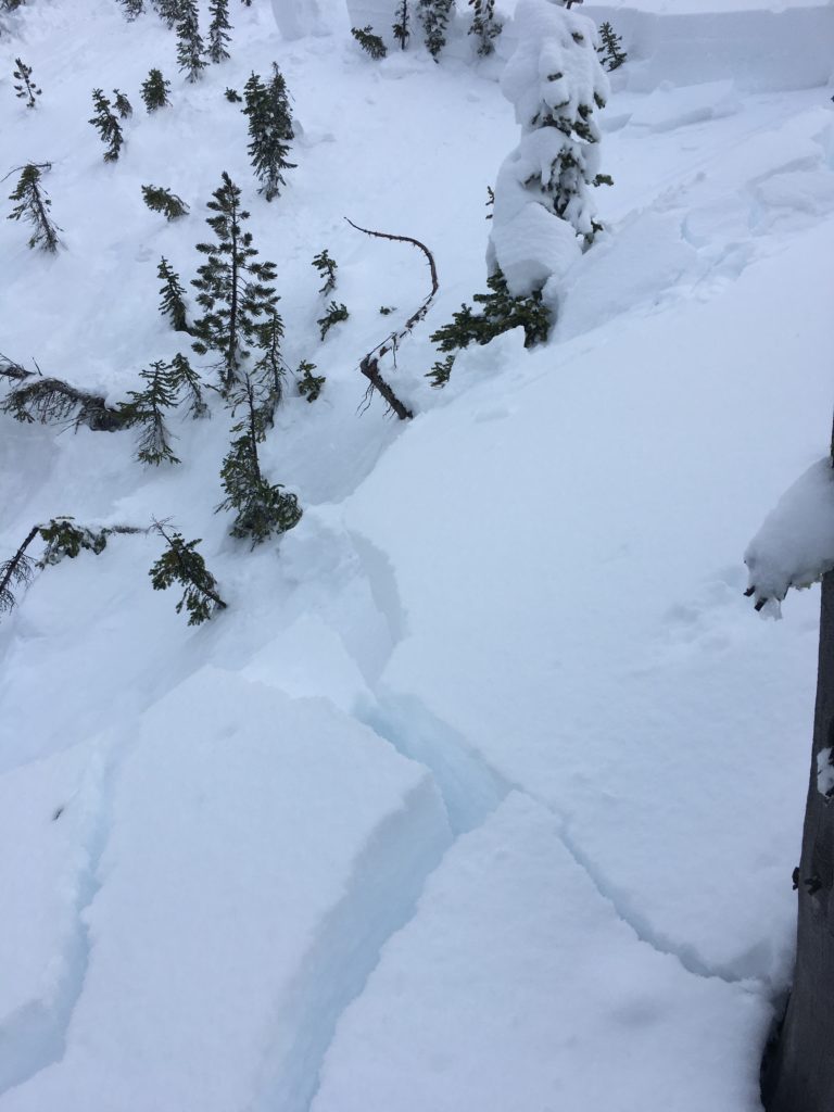
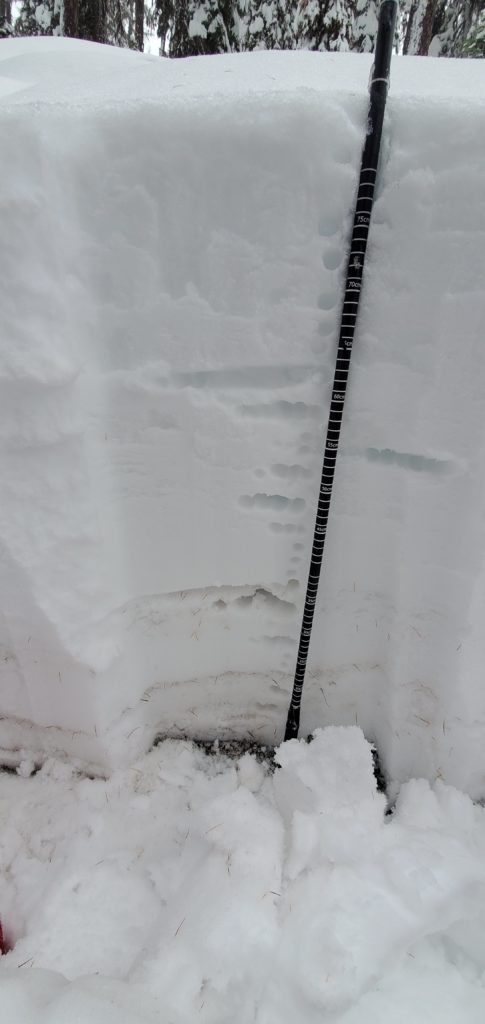
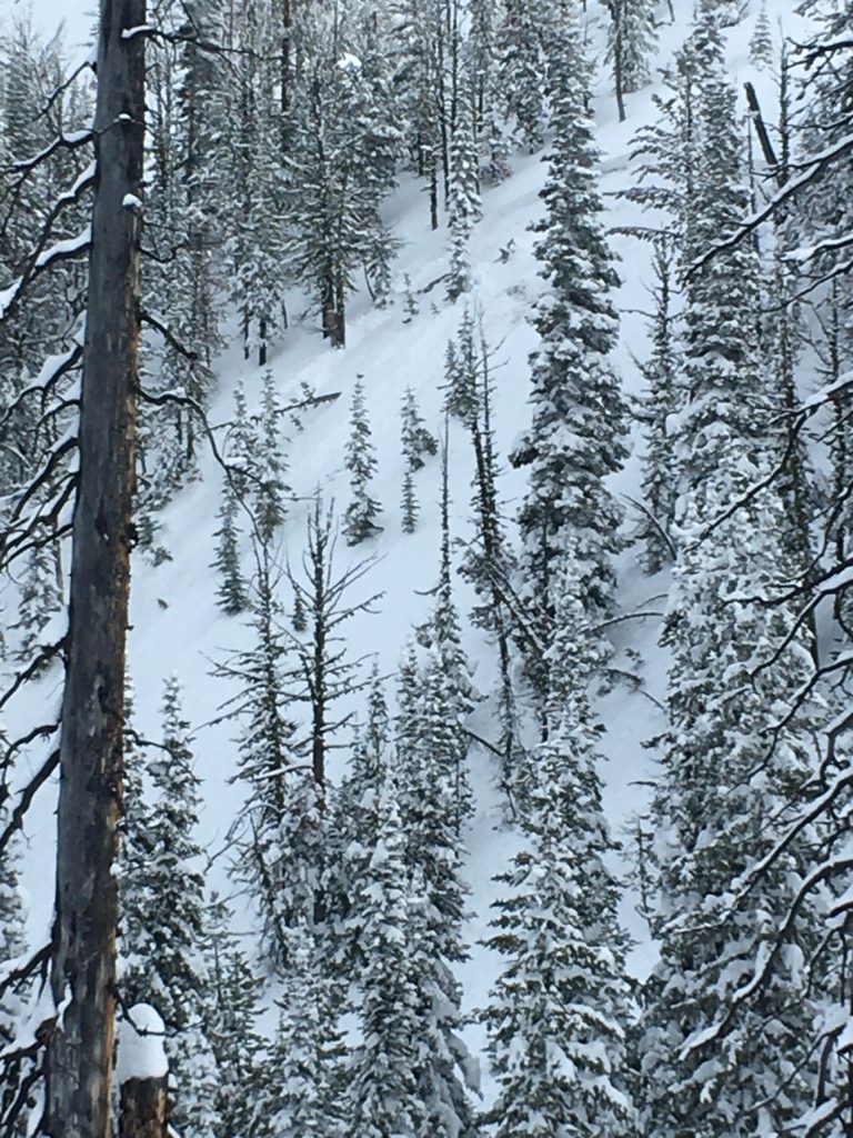
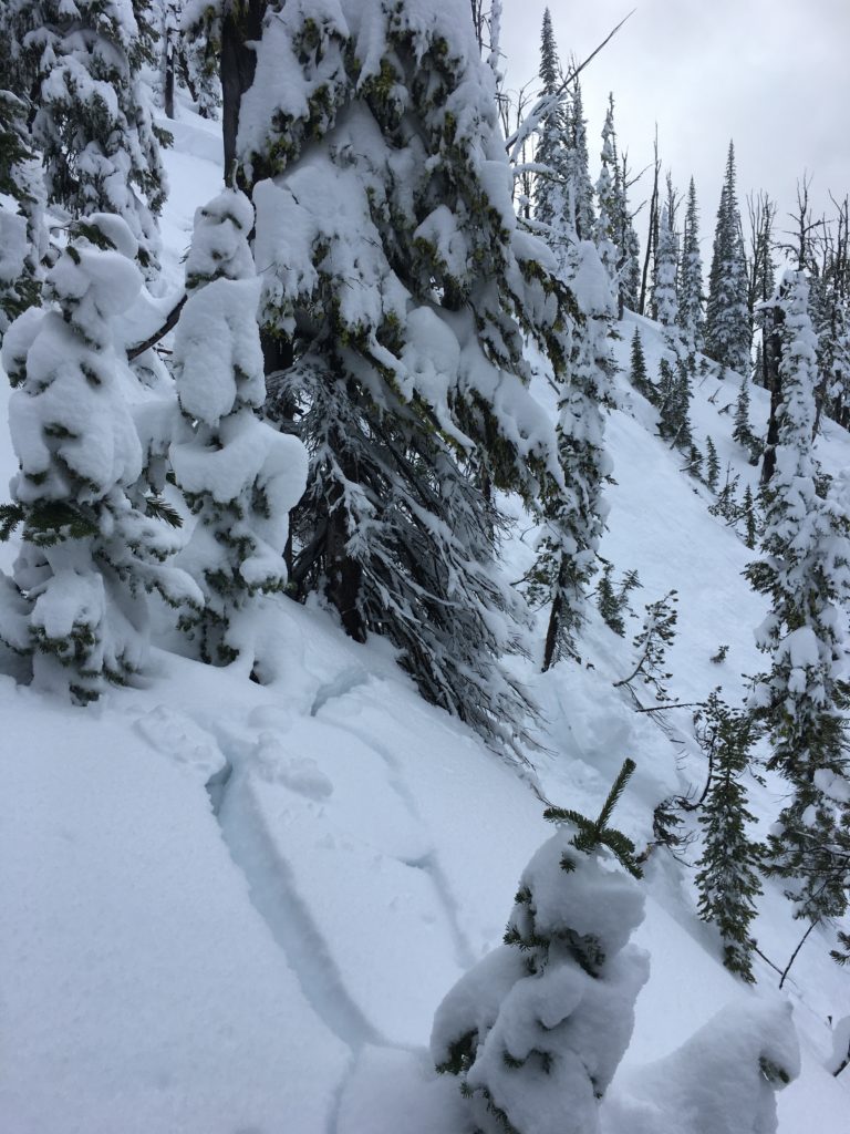
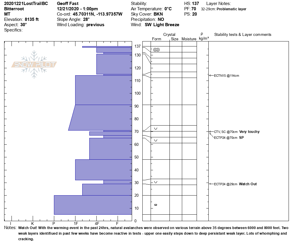
We have experienced a natural avalanche cycle over the last 48 hours. Several natural slides were reported during this cycle. Loose wet slides were observed near Lolo and the Rattlesnake. Wet slabs were observed in the Rattlesnake. Numerous avalanches were reported in the southern Bitterroot that broke initially on the buried surface hoar in the upper third of the snowpack and stepped down to weak facets near the ground with crowns from 3 to 4 feet deep. The slides ran full path into runout zones onto the valley floor.
Avoid traveling on or below wind loaded slopes today. Winds have created large, susceptible slabs on leeward terrain. Depending on snowpack structure, these can be triggered remotely, from far distances.
We have weak layers in our snowpack. As evidenced in the observations from the last couple of days, these can produce large avalanches. Today, a rider is likely to trigger slides when recreating on or near avalanche terrain.
Avoiding slopes over 30º that are connected to steeper terrain is a way to mitigate the current avalanche hazard. Enjoying low angle powder is a good plan for the next couple of days. As always, practice safe travel protocols. Travel one at a time in avalanche terrain, carry a beacon, shovel, and probe. Remember to re-assess conditions throughout the day and stay alert for signs of instability. Dig a pit. Look for red flags.
Bottom Line
Today is the day to listen to the snowpack and choose simple low angle terrain. Avoid wind loaded slopes. Avoid traveling under runout zones and steeper terrain.
Upcoming Education Events:
Please visit our education page for an up to date list of regional educational events and course offerings. Below are a few select events and opportunities to check out this week.
- Wednesday, December 23rd, 6–7:30 pm MST, FREE Online 1.5-hr Avalanche Awareness Session. Register Here
Special Announcements:
We want to reiterate our most sincere thanks to everyone who participated in the first-ever Pray For Snow online auction. With your help and our gracious sponsors’ support, we succeeded in raising over $10,000 this year! We look forward to turning these funds into the avalanche forecasts and education programs you need to have fun and stay safe this winter. Again, thank you for your continued support. We couldn’t do it without you!
We generate avalanche forecasts for a 1,420 square mile area that stretches from Lost Trail Pass to just north of Seeley Lake. We work hard to keep you informed of current avalanche dangers but, we can’t see everything. Your snowpack and weather observations help us fill in the gaps and produce a more accurate forecast. If you get out, please take a moment to fill out the online observation form.
Four people died in avalanches in the western U.S. on Friday and Saturday. We offer their families and friends our condolences for their losses.
Ski and ride safe.


